-
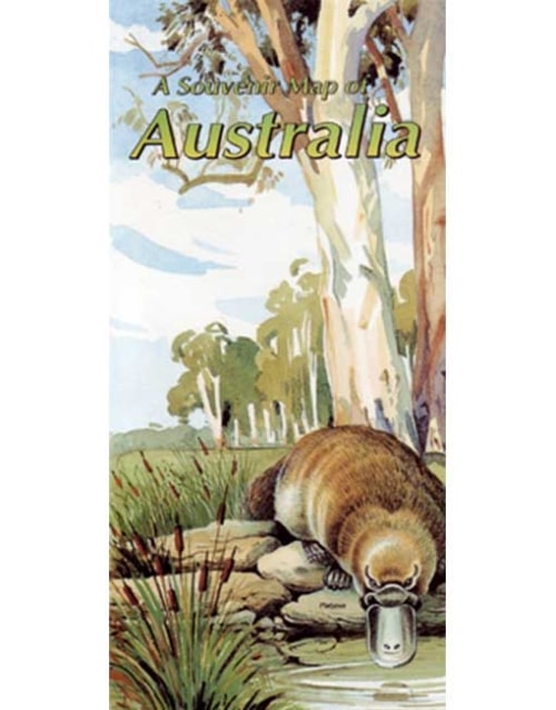
 This beautiful Westprint map shows the main towns and roads of Australia and is framed by paintings of birds, animals and outstanding outback features. Comes with a full colour printed envelope for posting to overseas friends
 -
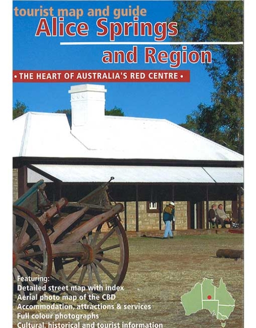
Westprint Map of the town of Alice Springs and region around Alice Springs highlighting places of interest to tourists.
-
Andado Station is the 'farthest out' of all the Simpson Desert cattle stations and one of the largest properties in the area. A visit to Old Andado (a tourist enterprise), is like a visit back to the 1920's, an image faithfully preserved by Molly Clark, a remarkable Australian woman. See the remains of the Overland Telegraph Line and drive along the Old Ghan Railway Line then wonder at the strength of the men who pioneered this country. Enjoy a wide diversity of terrain from rugged mountain renages, large river valleys and spectacular deserts; a remote area where mistakes can still result in tragedy. Westprint maps are highly regarded maps for desert areas.
-
Some of the most unusual landforms in the world can be found in Central Australia. Ancient riverbeds and mountain ranges contrast with red sand dunes and desert oaks. Mt Conner, Ayers Rock and the Olgas - known as The Three Tors of Central Australia - are all quite different and equally unusual features. Other unique features include Kings Canyon, Palm Valley and Henbury Meteorite Craters. Much of this are has only been accessible to visitors for about 30 years and some roads and facilities are well suited to the modern adventurer. Len Beadell's Gunbarrel Highway is also shown although travel permits are difficult to obtain. Westprint maps are highly regarded maps for desert areas.
-
This Westprint mini map of the Anne Beadell Highway shows detailed road and track information and features points of interest explained with information of historical and tourist nature. Features:
- Unique number coding system links points of interest on the face of each outback map to text on reverse side.
- Historical and Exploration related information provided with most maps. Explorers tracks are shown on most maps.
- Help boxes on the map contain information gained from the author's experiences in the area.
- Permit information and important phone numbers included where known.
- Important travel information relating to 4WD, Camping and Caravanning is included.
- Most tracks are checked with GPS and laptop computer.
- Westprint Maps are specially folded for ease of use in vehicles.
- Westprint Maps are progressively revised and include Grid Lines for GPS referencing and numbered GPS locations list.
-
The Canning Stock Route is the longest and most remote stock route in the world. Detailed track information, traveller advice and historical information is included in this Westprint map. Alfred Wernam Canning was born at Campbellfield, north of Melbourne, in 1860. He started work in New South Wales as a cadet surveyor and in 1893 joined the Western Australian Department of Lands and Survey. In 1901 he was given the task of surveying a route for the Rabbit Proof Fence. This survey of about 1800 kilometres from the southern coast to a point south of Broome took four years to complete and was one of the world's longest continuous surveys at that time. In 1906 Canning was asked to survey a stock route from Wiluna to Halls Creek through 1500 kilometres of trackless desert. He worked almost continuously for the next four years surveying and building the stock route. At the age of 70 Canning was asked to supervise well reconditioning partially completed by William Snell. Canning was 76 when he died in Perth in 1936.
-
This map covers the Birdsville - Boulia - Winton - Longreach - Windorah area. The map is clear with symbols referring to textual information provided on the back of the map explaining each point of interest, surrounding flora and fauna. The back of the map contains detailed historical, and point of interest information from John Decket complete the colour pictures, information on recreational activities in the area, and useful contact numbers. Westprint maps are highly regarded maps for desert areas.
-
Australia's Gulf of Carpentaria has a land system unlike any other in the country. It also has a rich Aboriginal history spanning thouands of years. European interest in the coastline dates back to the 1600's and land exploration commenced in 1845. Nat Buchanan blazed the first track along the Great Top Road 20 years after the area was explored by Ludwig Leichhardt in 1845. Huge mobs of cattle and thousands of people travelled to the Northern Territory and the Kimberley. Minerals were found in the GUlf in the 1880's but little of it could be mined due to the inhospitable nature of the land. Travellers will be amazed at the ever changing landscape. Flat Mitchell-grass plains on the Barkly Tableland merge into rugged, stony hills of the Cloncurry-Mt Isa region. Flat coastal plains near Burketown contrast with deep river crossings on the Great Top ROad. Mountains, plains, tropical forest, huge rivers and a coastline covered with mangroves are all part of this marvellous area called the Gulf. Westprint maps are highly regarded maps for desert areas.
-
This Westprint map covers several remarkable areas of bushland adjoining the South Australian - Victorian border. Outback Victoria is an area especially suited to bird watchers, four-wheel-drivers and campers.
-
This Westprint map covers a vast area between Alice Springs, Mt Isa and Birdsville where huge properties, remote homesteads and outback pubs are all of interest to the passing traveller. Landscapes vary from mulga woodlands around Gemtree to spinifex plains and gidgee watercourses further east. Views of Hartz, Jervois and Tarlton Ranges contrast with the Georgina River shannel coundtry in western Queensland. The flat, treeless, Barkly Tableland is crossed near Lake Nash and Barkly Downs then rugged, stony ranges are encountered near Mt Isa.
-
This Westprint map (formerly Dalhousie / Simpson Desert) is packed with information on all the various crossings of the Simpson desert. Scale is 1:1 Million, ideal for showing all necessary detail. GPS Locations identify all major features and places of interest are numerically cross referenced to further information on the reverse of the map. Coverage is from Birdsville and Mungerannie to Oodnadatta, Old Andado, Finke and Todd River Downs plus everything in between. there are insets of Poeppel Corner, Big red to Birdsville and Dalhousie Springs. Facility symbols include Rest Areas, Parking Bays, Fuel, Caravan Parks and Camping. Every road and track has intermediate distances.
-
This Westprint map features the network of roads called the Adventure Way from Toowoomba to Innamincka and is bordered by Windorah to the NW, Augathella to the NE, Barringun on the NSW/Qld border to the SE and Cameron Corner to the SW. All access roads into Innamincka are also detailed. This new edition has been field checked with GPS and contains Lat/Long grid & GPS co-ordinates, detailed roads and tracks, National parks and reserves, heritage and tourist information and specific 4WD, caravan and camping information. All WestPrint Heritage maps contain notes on history, explorers, points of interest, surrounding flora and fauna and contain various photos of landmarks. The maps are very clear to read and have road distances, rest areas, caravan parks and fuel outlets noted.
-
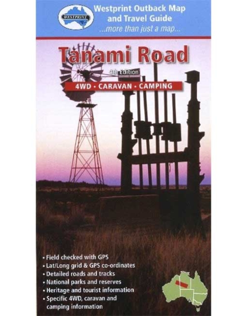
The Tanami Track provides the quickest access from the Southern States, via Alice Springs, to the Kimberley. Its path is through some of the least populated country in Australia and its ever changing arid scenery provides an awesome introduction to the immensity of Australia's Deserts. The early lure of gold and the need for stock routes have caused huge amounts of human effort to be used in crossing the Tanami. The condition of the present route, only determined in the 1960s, is being improved but the area is still remote and can be dangerous. Westprint maps are highly regarded maps for desert areas.