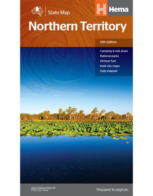
• Northern Territory State Map

    A map of the Northern Territory that has camping and rest areas, 24hour fuel and points of interest. On the reverse are thorough road maps of Darwin and Alice Springs, and a map of the greater Darwin region. For trip planning, there is a national park matrix and contact details for information centres.

    Key Features

    • GPS surveyed roads and tracks
    • Fuel stops 4WD tracks
    • Camping areas
    • Historic sites
    • Detailed inset maps
    • Waterproof/Durable paper

    Key Specifications

    • Edition: 12th
    • Publication Date: 28/10/19
    • Scale: 1:1,800,000
    • Folded size (WxHxD): 140mm X 250mm x 3mm
    • Flat size (WxH): 700mm X 1000mm
    • Weight: 0.09kgs
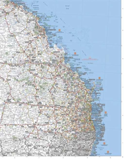
  • North East New South Wales Map

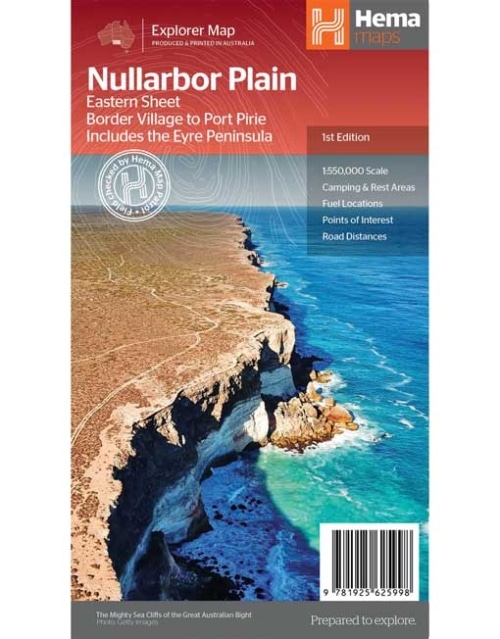
    This map is part of Hema's new Nullarbor Plain Map Series (East and West) and covers Border Village to Port Pirie including the Eyre Peninsula. Truly one of the worlds great adventure drives, Australia's semi-arid Nullarbor Plain stretches some 1,256 kilometres (781 miles) via the Eyre Highway and links the cities of Adelaide and Perth (or vice versa depending on your direction). The length of this journey is so large we needed to stretch it over two maps; East from Port Pirie to Border Village in South Australia and the Western sheet from Border Village to Kalgoorlie. While all the key sites and facilities along the Eyre Highway are listed this map allows you to broaden your horizon and consider some of the other attractions off the Highway, including; the various Nullarbor caves, iconic beaches across the Great Australian Bight and thousands of kilometres of 4WD tracks (including Googs Track), all field-checked by the Hema Map Patrol for superior accuracy. This map combines Hema’s entire database of roads and 4WD tracks with touring points of interest and topographic information. Also included are camping & rest areas, fuel locations, accommodation, distances and history of the region.

    Key Features

    • 4WD tracks (including Googs Track)
    • Camping & rest areas
    • Fuel Locations
    • Road distances
    • Accommodation
    • Caves and Beaches
    • History of the area
  • Nullarbor Plain - Western Map

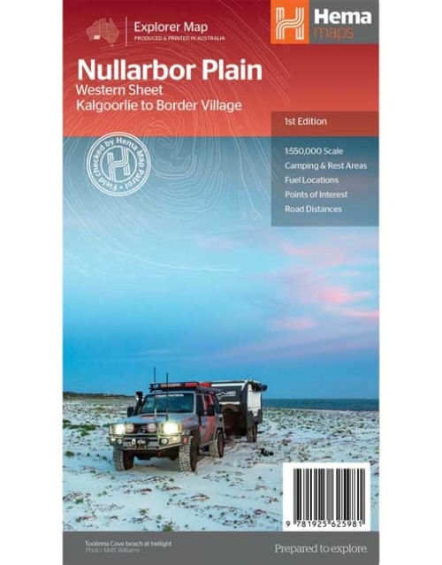
    Kalgoorlie to Border Village

    This map is part of Hema's new Nullarbor Plain Map Series and covers the area from Kalgoorlie to Border Village and its surrounds. Truly one of the worlds great adventure drives, Australia's semi-arid Nullarbor Plain stretches some 1,256 kilometres (781 miles) via the Eyre Highway and links the cities of Adelaide and Perth (or vice versa depending on your direction). The length of this journey is so large we needed to stretch it over two maps; East from Port Pirie to Border Village in South Australia and the Western sheet from Border Village to Kalgoorlie. While all the key sites and facilities along the Eyre Highway are listed this map allows you to broaden your horizon and consider some of the other attractions off the Highway, including; the various Nullarbor caves, iconic beaches across the Great Australian Bight and thousands of kilometres of 4WD tracks (including Old Coach Road (by permit)), all field-checked by the Hema Map Patrol for superior accuracy. This map combines Hema’s entire database of roads and 4WD tracks with touring points of interest and topographic information. Also included are camping & rest areas, fuel locations, accommodation, distances and history of the region.

    Key Features

    • 4WD tracks (including Googs Track)
    • Camping & rest areas
    • Fuel Locations
    • Road distances
    • Accommodation
    • Caves and Beaches
    • History of the area
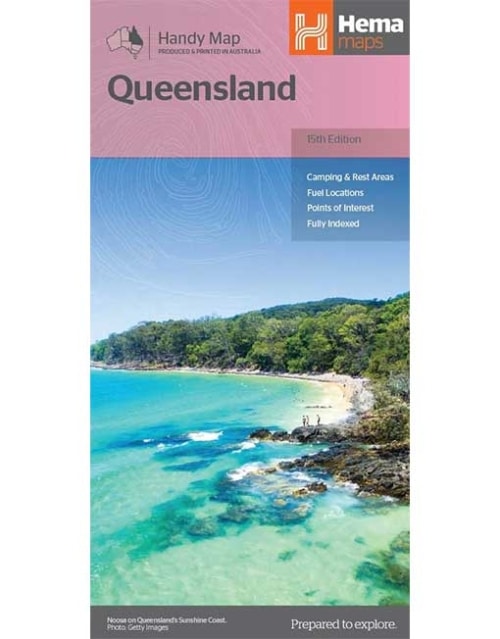
  • Queensland Handy Map

    A compact map of Queensland (QLD) at a scale of 1:2,500,000 for touring throughout the state which features highways, major roads and minor roads. Marked on the map are national parks, camping areas, caravan parks, rest areas, points of interest and 24-hour fuel accompanied by a distance grid and an index.
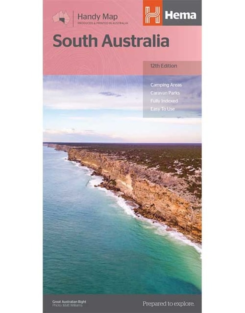
  • South Australia Handy Map

    A map of South Australia that displays camping areas, caravan parks, points of interest, rest areas and fuel outlets and is geared for those touring throughout the state. Accompanying the map is an index of towns and localities, as well as a distance chart.
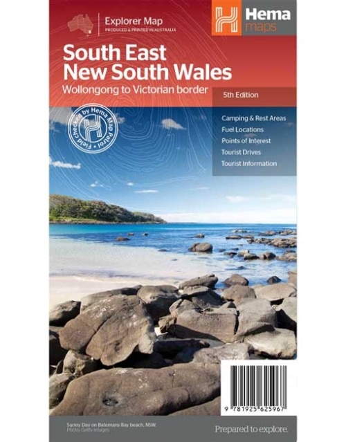
  • South East New South Wales Map

    A regional map of South East New South Wales (1:385,000) that ranges from Wollongong down to the Victoria border and out to Gundagai and past Jindabyne in the West. Covered regions in the map include; Illawarra, Jervis Bay & Shoalhaven, Batemans Bay, Canberra & surrounds, Merimbula & Sapphire Coast, Southern Highlands, Goulburn Region and the Snowy Mountains. On the opposite side is extensive information on numerous regions, including visitor, historical and background information.

    Key Features

    • Comprehensive map of South East New South Wales
    • Camping & rest areas
    • Fuel locations
    • Tourist drives
    • Detailed National Park Listing with facilities
    • Tourist Information Centres
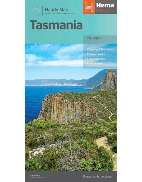
  • Tasmania Handy Map

    A compact map of Tasmania for touring throughout the state with a distance grid and index for planning and reference. Marked on the mapping are highways, major and minor roads, camping and rest areas, 24-hour fuel, information centres, picnic areas, caravan parks, and lookouts.
  • Tasmania State Map

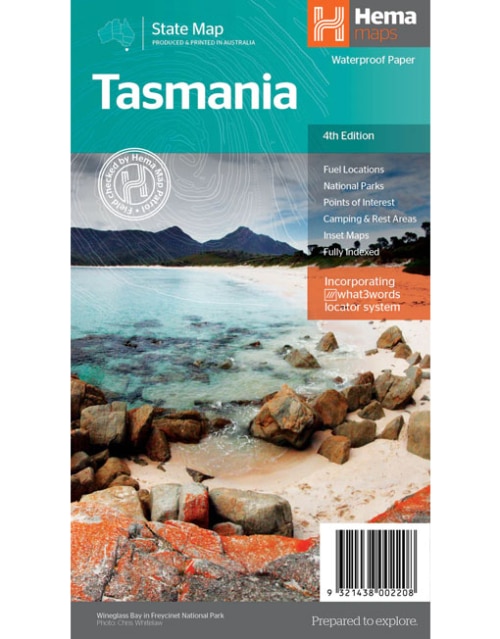
    The fourth edition of Hema’s Tasmania State Map features Hema’s distinctive and informative maps fully, all of which have been field checked by Hema’s Map Patrol to ensure the best possible accuracy with the latest mapping data. A fully indexed state map of Tasmania (TAS) at a scale of 1:500,000. Marked on the mapping are national parks, fuel locations as well as camping and rest areas. The reverse side consists of:
    • a summary of the key things to see and do broken up into the North West, Launceston, Tamar and the North
    • a table listing of National Parks and Reserves with key features and facilities (such as Camping and Caravan sites, BBQ, toilets and showers)
    • Visitor centre listing
    • Map of the area around Zeehan and Queenstown at 1:250,000 scale (including Lake St Claire and Franklin-Gordon Rivers National Parks)
    • Map of Freycinet National Park at 1:125,000 scale
    • Map of Southwest National Park at 1:200,000 scale
    • Map of Hobart & Region at 1:250,000 scale (including petrol stations, information centres and rest stops marked)
    Tasmania is located off the southeast corner of mainland Australia. It is Australia's smallest state in terms of both size and population, yet is a major tourist attraction due to the diverse and spectacular scenery, unspoilt wilderness, fantastic food and wine and heritage and cultural sites.

    Key Features

    • Fully updated and indexed primary Map of Tasmania at a scale of 1:500,000 and showing national parks, fuel locations as well as campsites and caravan parks
    • Detailed maps of the Zeehan and Region (including Lake St Clair and Franklin-Gordon Rivers National Park), Freycinet National Park, Southwest National Park and Hobart & Region
    • Complete list of Tasmanian Visitor Information Centres
    • Table showing Tasmania’s National Parks and Reserves with key features and facilities
    • Summary of the key things to see in Tasmania broken up by region.

    Key Specifications

    • Edition: 4th
    • Publication Date: 15/02/21
    • Scale: 1:500,000
    • Folded size (WxHxD): 140mm X 250mm x 3mm
    • Flat size (WxH): 700mm X 1000mm
    • Weight: 0.09kgs
  • Victoria State Map

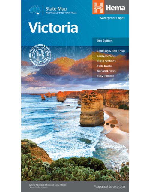
    A comprehensive map of Victoria for touring throughout the state that has camping and rest areas, 24-hour fuel and points of interest marked on the mapping. On the reverse are CBD, the surrounding region and through road maps of Melbourne in addition to maps of the Great Ocean Road and East Gippsland. Also included is a national park matrix and a list of accredited information centres within Victoria.

    Key Features

    • Camping & Rest Areas
    • Caravan Parks
    • Fuel Locations
    • 4WD tracks
    • National Parks
    • Fully indexed

    Key Specifications

    • Edition: 9th
    • Publication Date: 01/12/14
    • Scale: 1:850,000
    • Folded size (WxHxD): 140mm X 250mm x 3mm
    • Flat size (WxH): 700mm X 1000mm
    • Weight: 0.09kgs
  • Western Australia Handy Map

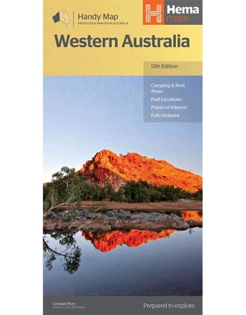
    Hema's updated WA Handy Map is comprised of the most detailed information, which has been verified by Hema Map Patrol. It is printed on waterproof paper and includes a full index of locations, making it durable and easy to use for both navigation and inspiration. A compact map of Western Australia for touring throughout the state with a distance grid and index for reference. Marked on the mapping are highways, major and minor roads, camping and rest areas, 24-hour fuel, information centres, picnic areas, caravan parks and lookouts.
  • Western Australia State Map

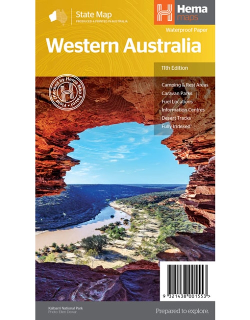
    Hema's updated WA State Map is comprised of the most detailed information, which has been verified by Hema Map Patrol. It is printed on waterproof paper and includes a full index of locations, making it durable and easy to use for both navigation and inspiration. On the reverse side of the maps are through road maps of Perth, plus inset maps of Leeuwin-Naturaliste National Park, Cape Range National Park, Nambung National Park, Francois Peron National Park, Purnululu National Park, Walpole-Nornalup National Park and Karijini National Park. Also included are information centres within Western Australia.

    Key Features

    • Camping and rest areas
    • Caravan parks
    • Fuel locations
    • Information centres
    • Desert tracks
    • Full index

    Key Specifications

    • Edition: 11th
    • Publication Date: 01/11/19
    • Scale: 1:2,500,000
    • Folded size (WxHxD): 140mm x 250mm x 3mm
    • Flat size (WxH): 700mm x 1000mm
    • Weight: 0.09kgs
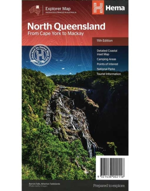
  • North Queensland Map From Cape York to Mackay (11th edition)

    This is the ideal North Queensland map for discovering the many destinations between Mackay and The Tip. The mapping is at a touring scale of 1:750,000, with terrain shading and touring symbols giving an accurate and informative overview of the region. There is a detailed inset map for Mackay and the Whitsundays and another for the entire coastal strip between Townsville and Cooktown. There is also tourist information on the popular coastal strip with a handy list of national park facilities and information centres as well.

    Key Features

    • Detailed coastal inset map
    • Camping areas
    • Points of Interest
    • National Parks
    • Tourist areas
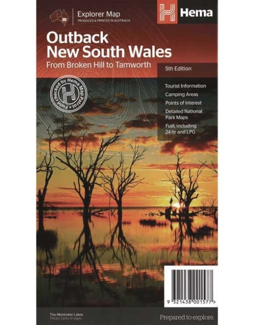
  • Outback New South Wales Map (5th edition)

    A regional map of outback NSW (1:1,100,000) that ranges from Tamworth in the east to Broken Hill in the west, as well as from Wagga Wagga in the south to past the Queensland border in the north. On the opposite side is extensive information on numerous regions, including visitor, historical and background information. Covered regions include the Broken Hill region, Corner Country, east of Tibooburra, the White Cliffs region, Cobar and surrounds, around Back o'Bourke, Lightning ridge and surrounds, Wentworth region, Balranald, Griffith region, Dubbo and surrounds, Kinchega National Park, Mungo National Park, Sturt National Park and Mutawintji National Park.

    Key Features

    • Detailed National Park Maps
    • Tourist information
    • Camping areas
    • Points of interest
  • This Westprint map covers several remarkable areas of bushland adjoining the South Australian - Victorian border. Outback Victoria is an area especially suited to bird watchers, four-wheel-drivers and campers.
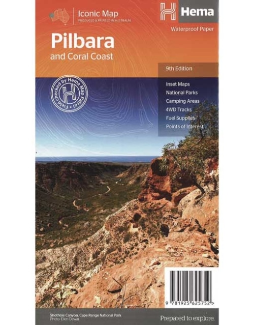
  • Pilbara & Coral Coast Map (9th Edition)

    This regional waterproof map of the Pilbara and Coral Coast is ideal for discovering the northern reaches of Western Australia. The main map covers the diverse marine attractions around Shark Bay, François Peron National Park and the Ningaloo Reef. It also stretches to the gorges of Karijini, lush habitats of  Millstream Chichester National Park and the magnificent Marble Bar. It also features additional information relating to permits, useful contacts and historical context surrounding some of the area's most popular tourist destinations. PRODUCT FEATURES
    • GPS surveyed roads and tracks
    • Fuel stops
    • 4WD tracks
    • Camping areas
    • Historic sites
    • Detailed inset maps
Go to Top