-

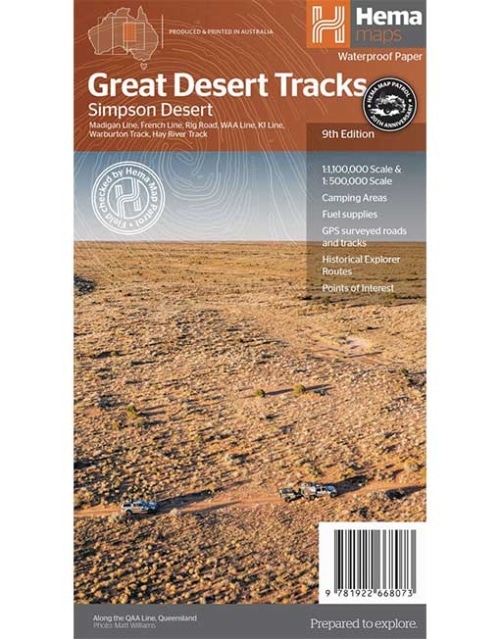
GREAT DESERT TRACKS - SIMPSON DESERT MAP
(9th Edition)
Hema's Great Desert Tracks maps are essential for anyone travelling in the Australian outback. The mapping features roads and 4WD tracks field-checked by the Hema Map Patrol, Points of Interest for remote area travellers and touring information for learning more about the region and planning your journey. -
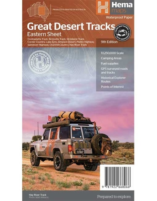
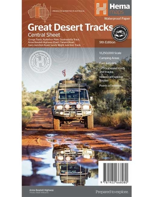
GREAT DESERT TRACKS - CENTRAL SHEET MAP
(9th Edition)
Hema's Great Desert Tracks maps are essential for anyone travelling in the Australian outback. The mapping features roads and 4WD tracks field-checked by the Hema Map Patrol, Points of Interest for remote area travellers and touring information for learning more about the region and planning your journey. -
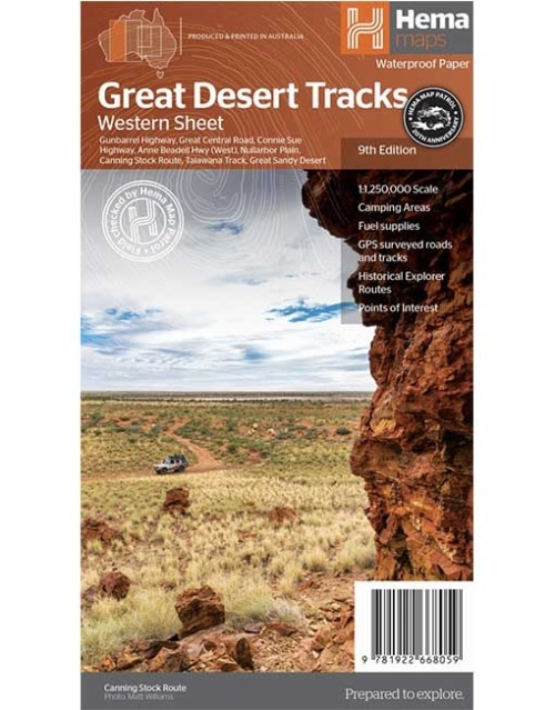
GREAT DESERT TRACKS - WESTERN SHEET MAP
(9th Edition)
Hema's Great Desert Tracks maps are essential for anyone travelling in the Australian outback. The mapping features roads and 4WD tracks field-checked by the Hema Map Patrol, Points of Interest for remote area travellers and touring information for learning more about the region and planning your journey. -
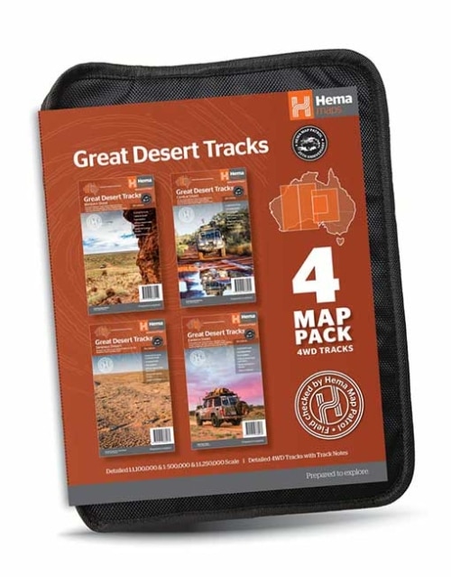
GREAT DESERT TRACKS MAP PACK
Great Desert Tracks Map Pack presents Hema's iconic Great Desert Tracks series in a soft and durable map wallet. Ideal for arid explorers looking to traverse Australia's arid centre, each waterproof and tear proof map is field-checked by the Hema Map Patrol to ensure the accuracy and detail necessary for desert travel. With complete coverage of the outback region of Australia's centre, this Desert Tracks Map Pack is the perfect navigation guide for every desert track and journey throughout Australia. -
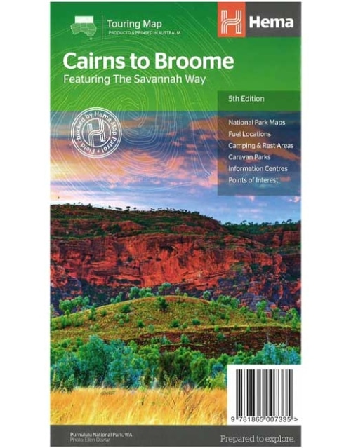
Savannah Way - Cairns to Broome Map (5th edition)
A touring map for the trip along the Savannah Way between Cairns and Broome at a scale of 1:2,200,000. The maps show 24-hour fuel, outback fuel and LPG as well as caravan parks, camping areas and rest areas. Popular national parks along the route are featured with detailed inset maps of Judbarra/Gregory, Purnululu, Kakadu and Boodjamulla. Also included are contact details for accredited information centres and useful lists of the facilities in national parks.Key Features
- The Savannah Way
- National Park maps and info
- Distance charts
- Information centres
- Fuel stops
- Caravan Parks, camping and rest areas
-
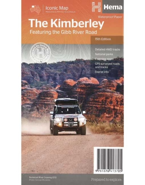
THE KIMBERLEY MAP FEATURING THE GIBB RIVER ROAD (15th Edition)
A regional map of the Kimberley that features the iconic Gibb River Road. On the reverse are inset maps for Purnululu National Park, the Dampier Peninsula and the Parry Creek area. Detailed trip coverage and drive detail for the Gibb River Road is featured as well, with inset mapping covering the journey and corresponding text to guide explorers. This edition of Hema’s best-selling Kimberley map features Hema's iconic mapping and detailed points of interest. It combines Hema’s entire database of remote roads and 4WD tracks with touring points of interest and topographic information. Also included are national park information and relevant contact details for pre-trip planning and use on the road or track. Key features: - Waterproof paper
- Detailed 4WD tracks
- National parks
- Camping areas
- GPS surveyed roads & tracks
-
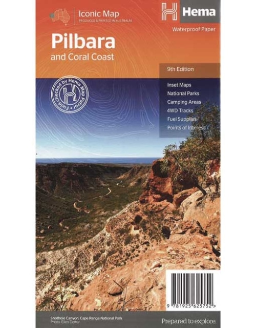
Pilbara & Coral Coast Map (9th Edition)
This regional waterproof map of the Pilbara and Coral Coast is ideal for discovering the northern reaches of Western Australia. The main map covers the diverse marine attractions around Shark Bay, François Peron National Park and the Ningaloo Reef. It also stretches to the gorges of Karijini, lush habitats of Millstream Chichester National Park and the magnificent Marble Bar. It also features additional information relating to permits, useful contacts and historical context surrounding some of the area's most popular tourist destinations. PRODUCT FEATURES- GPS surveyed roads and tracks
- Fuel stops
- 4WD tracks
- Camping areas
- Historic sites
- Detailed inset maps
-
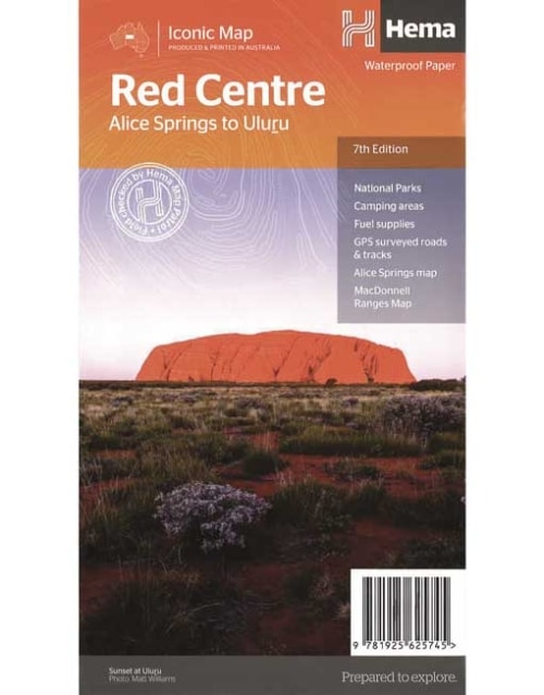
The Red Centre Map (7th Edition)
This regional waterproof map of the Red Centre is ideal for discovering the quintessentially Australian landscape at the heart of the country. The main map covers the area around Alice Springs, including Uluru, Kata Tjuta, West MacDonnell Range and Watarrka National Park. It also features additional information relating to permits, useful contacts and historical context surrounding some of the area's most popular tourist destinations. PRODUCT FEATURES- GPS surveyed roads and tracks
- Fuel stops
- 4WD tracks
- Camping areas
- Historic sites
- Detailed inset maps
-
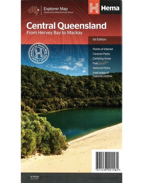
Central Queensland Map From Hervey Bay to Mackay
A regional map of central Queensland (1:1,000,000) that stretches inland past Jericho and from Maryborough in the south to Mackay in the north. On the opposite side is tourist information on the region, as well as inset maps of Mackay, the Capricorn Coast, Gladstone, Bundaberg, Rockhampton, and the Gemfields. Accompanying each inset map are photos as well as background and travel information on the region that help for planning and touring.Key Features
- Inset town and city maps
- National parks
- Tourist information
- Camping and rest areas
- Index and distance charts
-
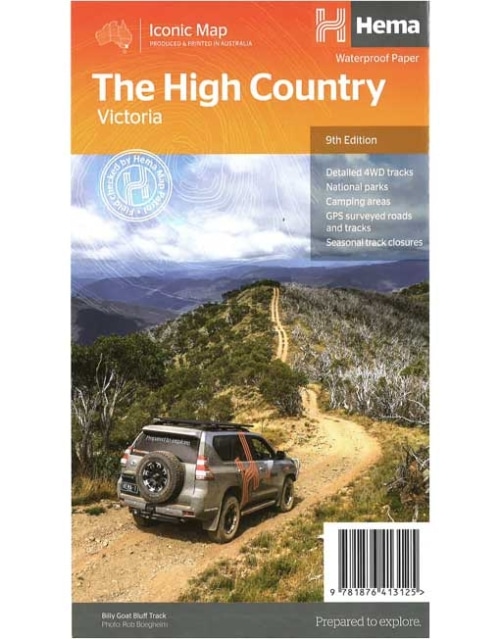
The High Country Victoria Map (9th edition)
This edition of Hema’s best-selling High Country map, on durable waterproof paper, features Hema's iconic mapping and extensive points of interest. Featuring roads and 4WD tracks field-checked by the Hema Map Patrol for superior accuracy. It combines Hema’s entire database of roads and 4WD tracks with touring points of interest and topographic information. Also included are seasonal track closures, camping areas, old townsites, huts, accommodation and distances. Key features:- 4WD tracks
- Huts
- Camping areas
- Old townsites
- Seasonal track closures
- Road distances
- Accommodation
-
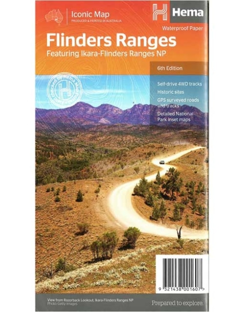
Flinders Ranges Map (6th edition)
This waterproof map of South Australia's Flinders Ranges includes inset national park maps and visitor information on the spectacular Flinders Ranges and Vulkathunha-Gammon Ranges, including information on the history and traditions of the Adnyamathanha people — making trip planning and navigation simple. Accompanying tourist information includes self-drive 4WD treks, historic sites and contact details listed for national parks and reserves.Key Features
• GPS surveyed roads and tracks • Self-drive 4WD tracks • Camping, bush camping, walking tracks • Historic sites • Detailed National Park inset maps -
Fraser Island Map (9th edition)
Fraser Island is one of the most diverse 4WD destinations in Australia, with beaches, rainforests, perched lakes, sand blows and more fitting into the world’s largest sand island. The mapping is highly detailed (1:130,000), with 4WD tracks field checked by the Hema Map Patrol, while hybrid satellite inset maps of Waddy Point, Orchid Beach, Cathedral Beach, Happy Valley, Kingfisher Bay, Eurong and Second Valley are also included. On the reverse is a wealth of information for enjoying Fraser Island, including touring information on each distinct region, things to do, island access, permit information, accommodation, useful contacts and helpful insights for sand driving.Key Features
- Detailed 4WD tracks
- Camping areas
- GPS surveyed roads & tracks
- GPS positions and grid
-
Mid West Western Australia Map (4th edition)
A regional map of Mid West Western Australia that covers from Cape Range National Park south to Mandurah and as far as Kalgoorlie at a scale of 1:1,250,000 that has camping areas, national parks, fuel supplies and facility symbols marked on the map. On the reverse is region-specific touring information for Wildflower country, Goldfields, Batavia Coast, Geraldton to Kalbarri, Gascoyne and the Outback Coast, Carnarvon and the Blowhole Coast as well as the Great Eastern Highway, with detailed inset maps for Cape Range National Park, Kalbarri National Park, Francois Peron National Park, Kennedy Range National Park and Mount Augustus National Park also included. Also featured are the Top 10 4WD Tracks, which include the Holland Track, Cave Hill Circuit, Jaurdi Station, Mount Elvire, Mundaring Powerlines Track, Stockyard Gully & Leseur National Park, Greenough River, Steep Point, Peron Peninsula and Kennedy Range National Park. Each track has a grading, map reference, permits and fees, distances, contact details, things to do and warnings.Key Features
- Inset Maps
- National parks
- Camping areas
- Fuel Supplies
- GPS surveyed roads and tracks
- What to see and do
-
North Queensland Map From Cape York to Mackay (11th edition)
This is the ideal North Queensland map for discovering the many destinations between Mackay and The Tip. The mapping is at a touring scale of 1:750,000, with terrain shading and touring symbols giving an accurate and informative overview of the region. There is a detailed inset map for Mackay and the Whitsundays and another for the entire coastal strip between Townsville and Cooktown. There is also tourist information on the popular coastal strip with a handy list of national park facilities and information centres as well.Key Features
- Detailed coastal inset map
- Camping areas
- Points of Interest
- National Parks
- Tourist areas