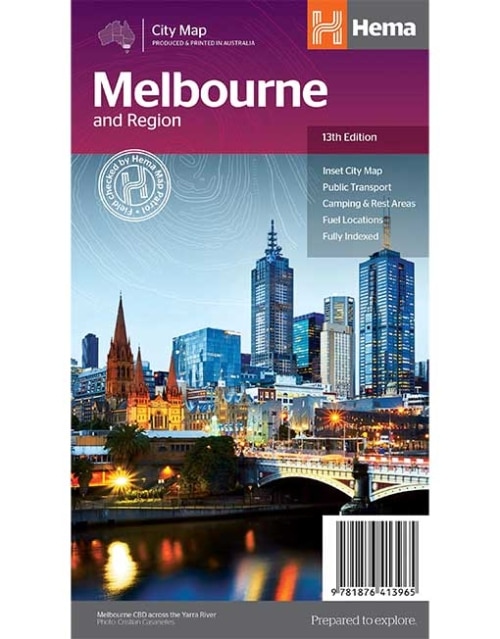
-

HEMA MAP - SOUTH AUSTRALIA STATE MAP
A map of South Australia that displays camping areas, caravan parks, points of interest, rest areas and fuel outlets and is geared for those touring throughout the state. -
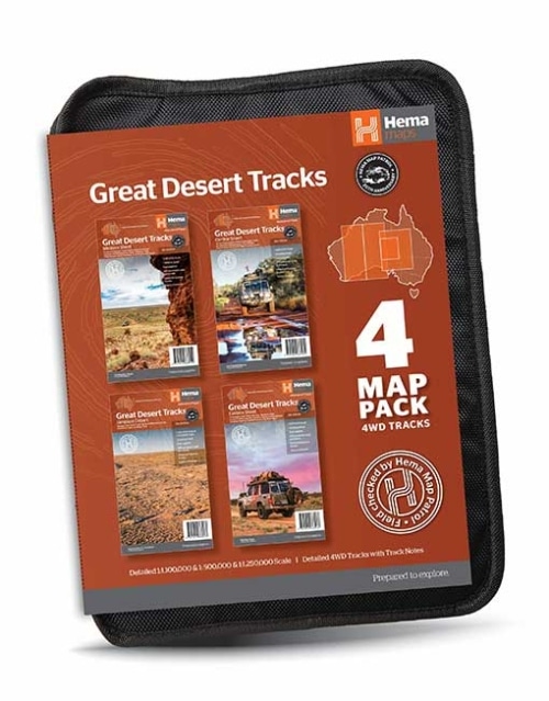
HEMA MAP WALLET
Organise & protect your Hema Maps with this sturdy map wallet. -
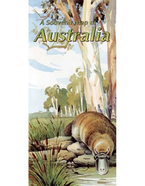 This beautiful Westprint map shows the main towns and roads of Australia and is framed by paintings of birds, animals and outstanding outback features. Comes with a full colour printed envelope for posting to overseas friends
 -
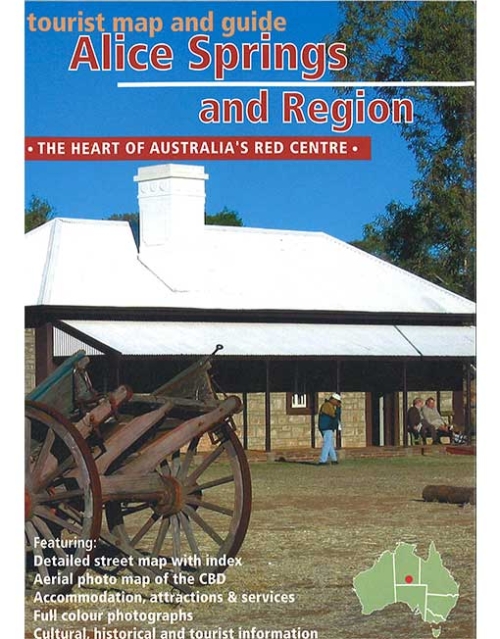 Westprint Map of the town of Alice Springs and region around Alice Springs highlighting places of interest to tourists.
 -
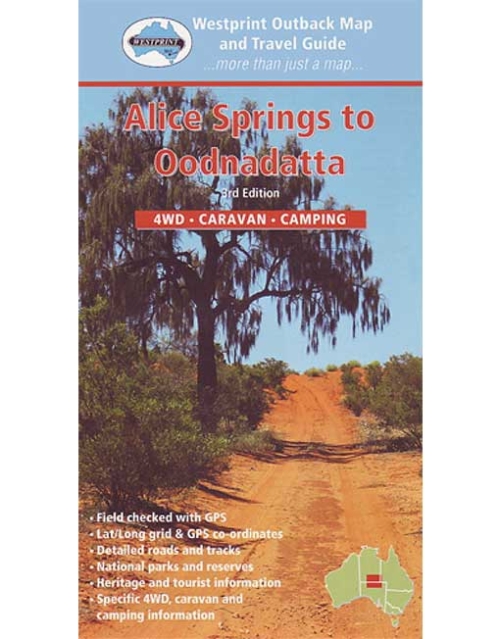 Andado Station is the 'farthest out' of all the Simpson Desert cattle stations and one of the largest properties in the area. A visit to Old Andado (a tourist enterprise), is like a visit back to the 1920's, an image faithfully preserved by Molly Clark, a remarkable Australian woman. See the remains of the Overland Telegraph Line and drive along the Old Ghan Railway Line then wonder at the strength of the men who pioneered this country. Enjoy a wide diversity of terrain from rugged mountain renages, large river valleys and spectacular deserts; a remote area where mistakes can still result in tragedy. Westprint maps are highly regarded maps for desert areas.
 -
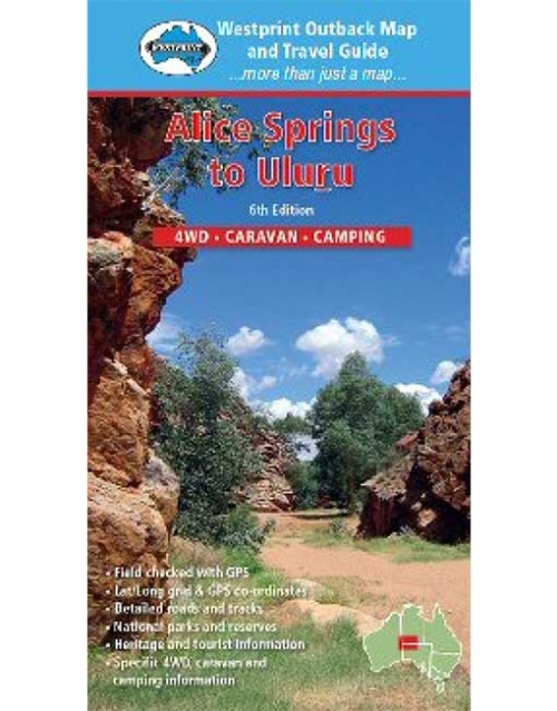 Some of the most unusual landforms in the world can be found in Central Australia. Ancient riverbeds and mountain ranges contrast with red sand dunes and desert oaks. Mt Conner, Ayers Rock and the Olgas - known as The Three Tors of Central Australia - are all quite different and equally unusual features. Other unique features include Kings Canyon, Palm Valley and Henbury Meteorite Craters. Much of this are has only been accessible to visitors for about 30 years and some roads and facilities are well suited to the modern adventurer. Len Beadell's Gunbarrel Highway is also shown although travel permits are difficult to obtain. Westprint maps are highly regarded maps for desert areas.
 -
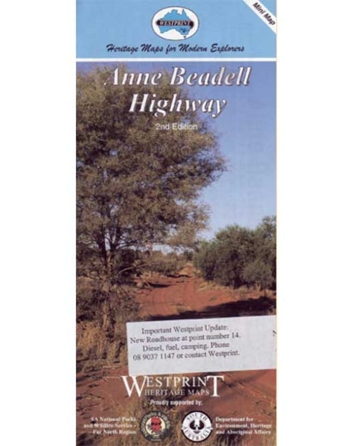 This Westprint mini map of the Anne Beadell Highway shows detailed road and track information and features points of interest explained with information of historical and tourist nature. Features:
- Unique number coding system links points of interest on the face of each outback map to text on reverse side.
- Historical and Exploration related information provided with most maps. Explorers tracks are shown on most maps.
- Help boxes on the map contain information gained from the author's experiences in the area.
- Permit information and important phone numbers included where known.
- Important travel information relating to 4WD, Camping and Caravanning is included.
- Most tracks are checked with GPS and laptop computer.
- Westprint Maps are specially folded for ease of use in vehicles.
- Westprint Maps are progressively revised and include Grid Lines for GPS referencing and numbered GPS locations list.
-

Australia Large Map
(12th edition)
Hema’s iconic large map of Australia is ideal as a trip planning tool and travel companion. Marked on the map are localities, the major road network, distances and major national parks. The map also shows localities, the major road network, distances and major national parks. The visual appeal makes it perfect as a decorative map or an educational tool. On the reverse side is an overview of Australia's iconic touring regions featuring history, geology and landforms, nature, bucket-list attractions and iconic 4WD tracks. Key Features- Hema's iconic map of Australia
- Overview of Australia's iconic touring regions
- Outback fuel distances
- National parks
- Road distances
- Aboriginal land
- Distance grid
- Index
-
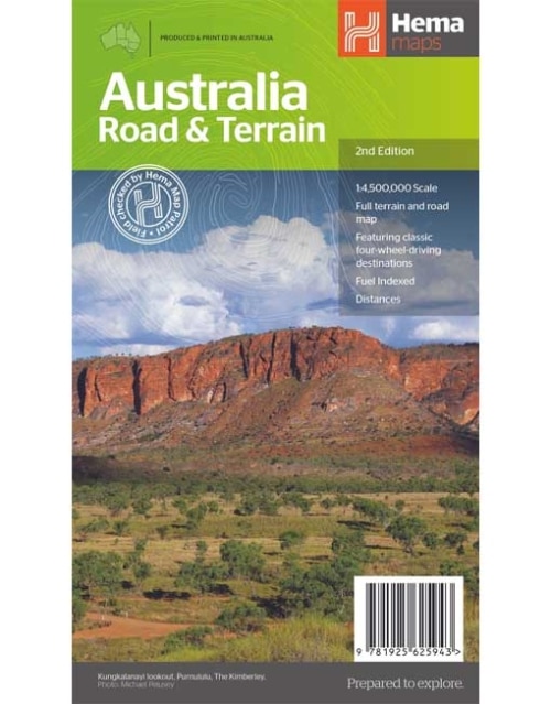
Australia Road and Terrain Map (2nd edition)
Hema’s iconic large map of Australia is coloured to reflect the country's climate zones. Marked on the map are localities, the major road network, distances and major national parks. The visual appeal makes it perfect as a decorative map or an educational tool. On the reverse side is an overview of Australia's iconic touring regions featuring history, geology and landforms, nature, bucket-list attractions and iconic 4WD tracks. Key Features- Full road and terrain hillshade map
- Major road networks & distances
- Overview of Australia's iconic touring regions
- Climate zones
- National parks
- Aboriginal Land
- Distance grid
- Locality Index
-

Central Australia Map (11th edition)
Discover Australia's ancient heartland This waterproof map of the Central Australia region is ideal for discovering some of Australia's most iconic landscapes. The main map covers the area around Alice Springs, including Uluru, Kata Tjuta, West MacDonnell Range, as well as the Simpson Desert and popular tracks such as the Hay River Track. The map also features additional information related to permits, useful contacts and historical context surrounding some of the area's most popular tourist destinations.Key Features
- GSP surveyed roads and tracks
- Fuel stops
- 4WD tracks
- Camping and rest areas
- Historic sites
-
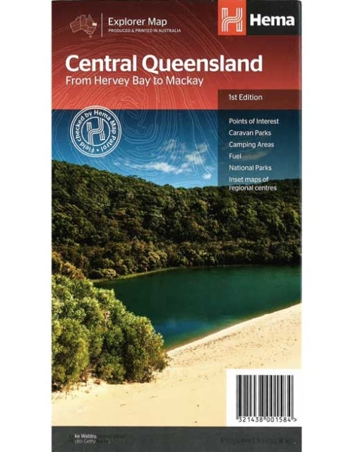
Central Queensland Map From Hervey Bay to Mackay
A regional map of central Queensland (1:1,000,000) that stretches inland past Jericho and from Maryborough in the south to Mackay in the north. On the opposite side is tourist information on the region, as well as inset maps of Mackay, the Capricorn Coast, Gladstone, Bundaberg, Rockhampton, and the Gemfields. Accompanying each inset map are photos as well as background and travel information on the region that help for planning and touring.Key Features
- Inset town and city maps
- National parks
- Tourist information
- Camping and rest areas
- Index and distance charts
-
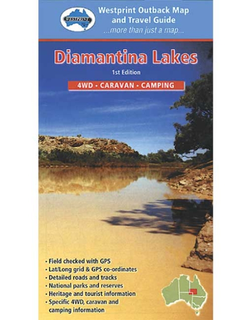 This map covers the Birdsville - Boulia - Winton - Longreach - Windorah area. The map is clear with symbols referring to textual information provided on the back of the map explaining each point of interest, surrounding flora and fauna. The back of the map contains detailed historical, and point of interest information from John Decket complete the colour pictures, information on recreational activities in the area, and useful contact numbers. Westprint maps are highly regarded maps for desert areas.
 -
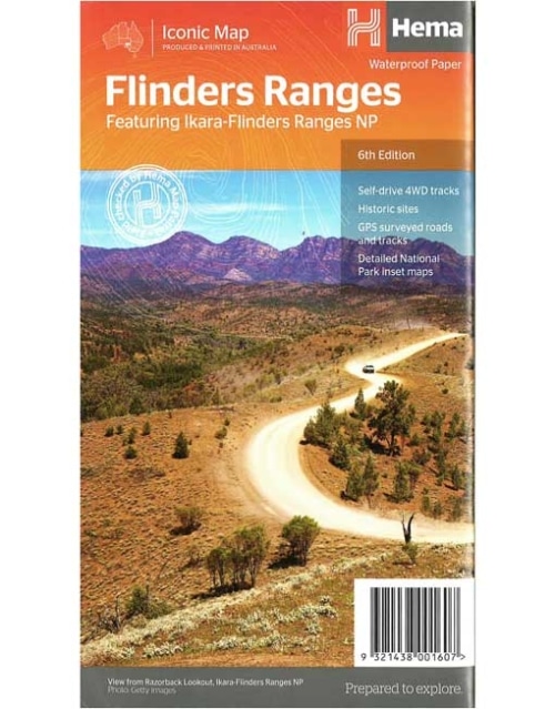
Flinders Ranges Map (6th edition)
This waterproof map of South Australia's Flinders Ranges includes inset national park maps and visitor information on the spectacular Flinders Ranges and Vulkathunha-Gammon Ranges, including information on the history and traditions of the Adnyamathanha people — making trip planning and navigation simple. Accompanying tourist information includes self-drive 4WD treks, historic sites and contact details listed for national parks and reserves.Key Features
• GPS surveyed roads and tracks • Self-drive 4WD tracks • Camping, bush camping, walking tracks • Historic sites • Detailed National Park inset maps -
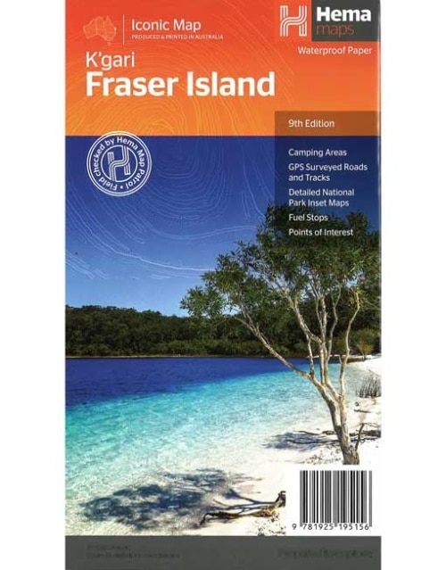
Fraser Island Map (9th edition)
Fraser Island is one of the most diverse 4WD destinations in Australia, with beaches, rainforests, perched lakes, sand blows and more fitting into the world’s largest sand island. The mapping is highly detailed (1:130,000), with 4WD tracks field checked by the Hema Map Patrol, while hybrid satellite inset maps of Waddy Point, Orchid Beach, Cathedral Beach, Happy Valley, Kingfisher Bay, Eurong and Second Valley are also included. On the reverse is a wealth of information for enjoying Fraser Island, including touring information on each distinct region, things to do, island access, permit information, accommodation, useful contacts and helpful insights for sand driving.Key Features
- Detailed 4WD tracks
- Camping areas
- GPS surveyed roads & tracks
- GPS positions and grid