- Unique number coding system links points of interest on the face of each outback map to text on reverse side.
- Historical and Exploration related information provided with most maps. Explorers tracks are shown on most maps.
- Help boxes on the map contain information gained from the author's experiences in the area.
- Permit information and important phone numbers included where known.
- Important travel information relating to 4WD, Camping and Caravanning is included.
- Most tracks are checked with GPS and laptop computer.
- Westprint Maps are specially folded for ease of use in vehicles.
- Westprint Maps are progressively revised and include Grid Lines for GPS referencing and numbered GPS locations list.
-
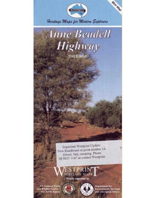
 This Westprint mini map of the Anne Beadell Highway shows detailed road and track information and features points of interest explained with information of historical and tourist nature. Features:
 -
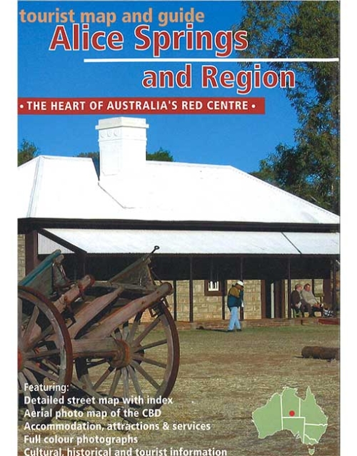
Westprint Map of the town of Alice Springs and region around Alice Springs highlighting places of interest to tourists.
-
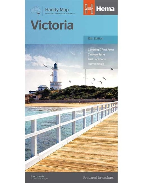
Victoria Handy Map
From the rolling High Country in the east to the expanses of the Wimmera region in the west; the rugged Shipwreck Coast in the south to the lazy Murray River that scribbles the northern border; Victoria is a road trip paradise. Hema's Handy Map has been revised for its 12th edition, with, updated roads, greater detail, distance grid and index for planning and reference. Also marked on the mapping are highways, major and minor roads, points of interest, information centres, picnic areas, caravan parks and lookouts. The Victoria Handy Map is an essential addition to any holiday-maker's packing list, or a useful resource to keep stashed in the glove box. -
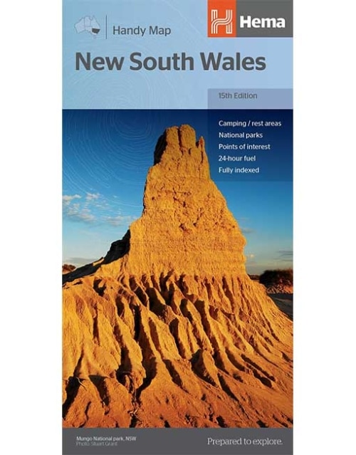
New South Wales Handy Map
This fully indexed Handy Map of New South Wales is at a scale of 1:1,400,000 including National Parks, camping areas, caravan parks, rest areas, points of interest and 24-hour fuel. -
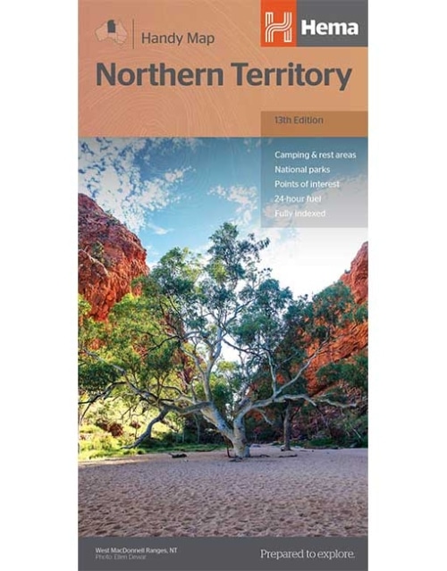
Northern Territory Handy Map
A map of the Northern Territory that features camping and rest areas, 24hour fuel and points of interest. On the reverse are through road maps of Darwin and Alice Springs, a map of the greater Darwin region. For trip planning there is a national park matrix and contact details for information centres. -
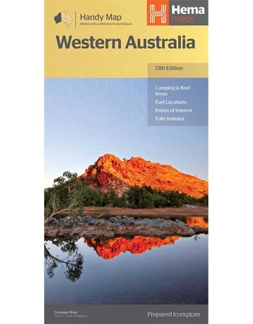
Western Australia Handy Map
Hema's updated WA Handy Map is comprised of the most detailed information, which has been verified by Hema Map Patrol. It is printed on waterproof paper and includes a full index of locations, making it durable and easy to use for both navigation and inspiration. A compact map of Western Australia for touring throughout the state with a distance grid and index for reference. Marked on the mapping are highways, major and minor roads, camping and rest areas, 24-hour fuel, information centres, picnic areas, caravan parks and lookouts. -
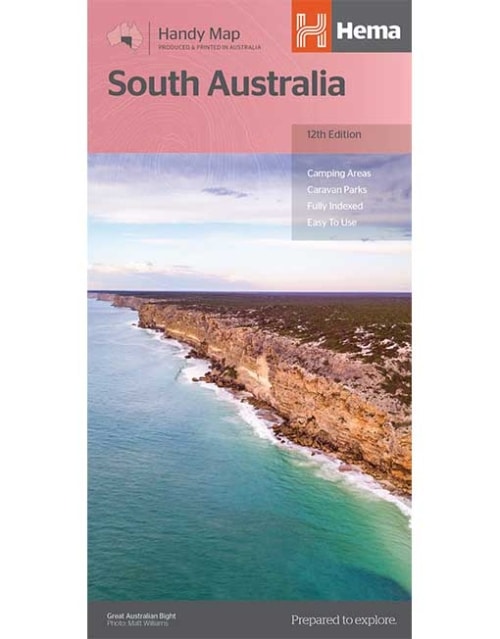
South Australia Handy Map
A map of South Australia that displays camping areas, caravan parks, points of interest, rest areas and fuel outlets and is geared for those touring throughout the state. Accompanying the map is an index of towns and localities, as well as a distance chart. -
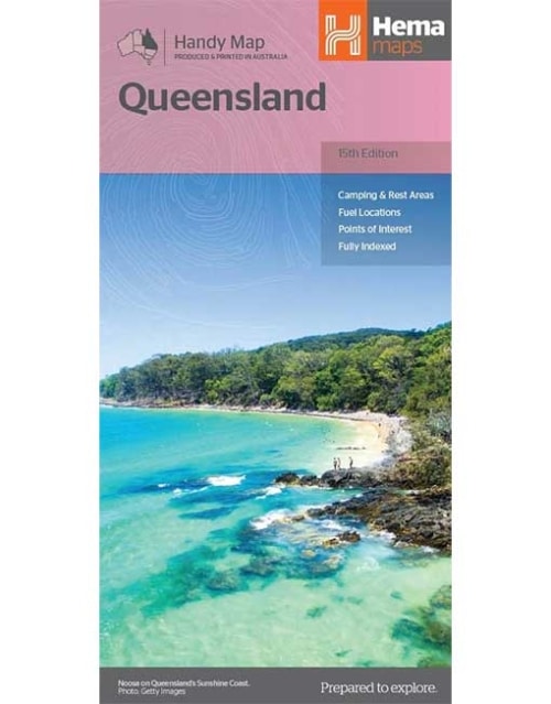
Queensland Handy Map
A compact map of Queensland (QLD) at a scale of 1:2,500,000 for touring throughout the state which features highways, major roads and minor roads. Marked on the map are national parks, camping areas, caravan parks, rest areas, points of interest and 24-hour fuel accompanied by a distance grid and an index. -
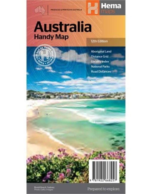
Australia Handy Map
The Australia Handy Map is a foldable, compact Australian map that is perfect as a journey planner or reference tool. It shows national parks and major road networks with distances for planning, along with major city CBD maps for Brisbane, Melbourne, Sydney, Canberra, Darwin, Adelaide, Perth and Hobart on the reverse side, as well as a distance chart and a placename index for practical use. -
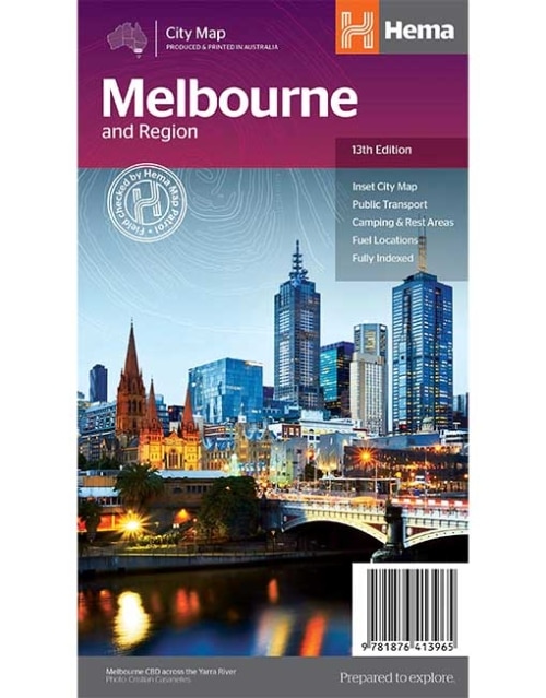
HEMA MAP - MELBOURNE AND REGION MAP
Hema’s iconic large map of Australia is coloured to reflect the country's climate zones. -
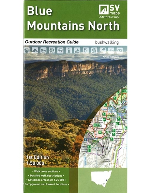
BLUE MOUNTAINS NORTH - OUTDOOR RECREATION GUIDE FROM SPATIAL VISION DEAL FOR: Bushwalking, rock climbing, mountain biking, car touring, camping SCALE: 1:50,000 MAJOR PARKS: Blue Mountains National Parks, Yellomundee Regional Park LOCAL TOWNS includingMount Victoria, Blackheath, Medlow Bath, Katoomba, Leura, Wentworth Falls, Lawson, Springwood, Glenbrook. SIZE (folded): 135mm wide and 250mm high SIZE (unfolded): 1000mm wide by 810mm high FEATURES:
- Detailed walk descriptions including day walks such as the Grand Canyon and Prince Henry Cliff walk and overnight walks including Blue Gum Forrest Circuit, Mount Victoria to Blue Gum Forrest and Blackheath.
- Information on other activities such as mountain biking, rock climbing, canyoning, canoeing and swimming.
- Campground and Lookout locations and GPS references
- 1:25, 000 map inset of the Katoomba and Wentworth Falls area
- Walk cross sections
-
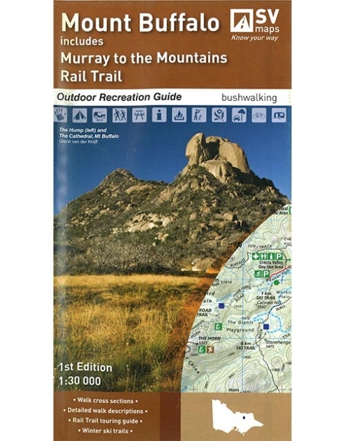
MT BUFFALO - OUTDOOR RECREATION GUIDE FROM SPATIAL VISION SCALE: 1:30,000 COVERAGE: Mt Buffalo National Park, Lyrebird Plain, Myrtleford, Porepunkah and Lake Buffalo IDEAL FOR: Bushwalking, Cross-country skiing, mountain biking and car touring EDITION: 1 SIZE (folded): 135mm wide and 250mm high SIZE (unfolded): 810mm wide by 1000mm high This guide is a must for everyone that loves the Mt Buffalo National Park. The Buffalo recreation guide provides information and detailed maps for walking and touring throughout the National Park and surroundings. The recreation guide complements the already released Bogong Alpine Area and Buller-Howitt recreation guides. It has been developed in consultation with Parks Victoria and includes touring information by Glenn van der Knijff, a well known adventure author.
-
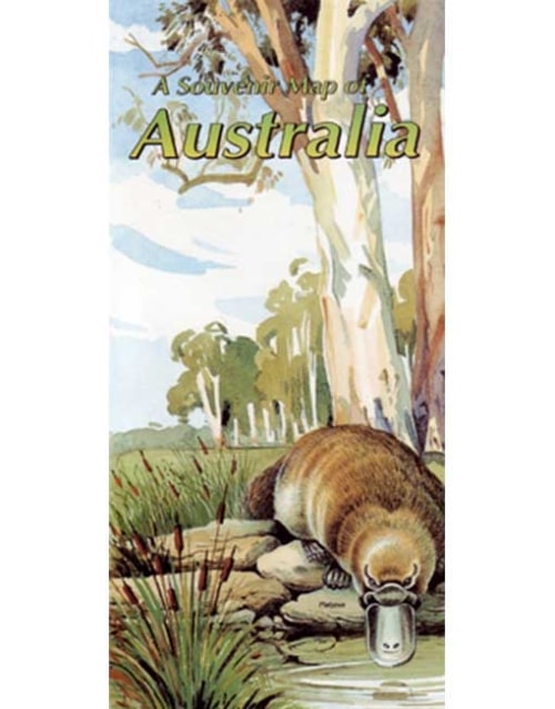
This beautiful Westprint map shows the main towns and roads of Australia and is framed by paintings of birds, animals and outstanding outback features. Comes with a full colour printed envelope for posting to overseas friends
-
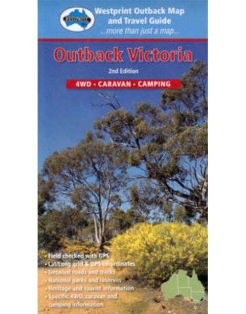
This Westprint map covers several remarkable areas of bushland adjoining the South Australian - Victorian border. Outback Victoria is an area especially suited to bird watchers, four-wheel-drivers and campers.
-
This Westprint map covers a vast area between Alice Springs, Mt Isa and Birdsville where huge properties, remote homesteads and outback pubs are all of interest to the passing traveller. Landscapes vary from mulga woodlands around Gemtree to spinifex plains and gidgee watercourses further east. Views of Hartz, Jervois and Tarlton Ranges contrast with the Georgina River shannel coundtry in western Queensland. The flat, treeless, Barkly Tableland is crossed near Lake Nash and Barkly Downs then rugged, stony ranges are encountered near Mt Isa.