-

HEMA MAP - SOUTH AUSTRALIA STATE MAP
A map of South Australia that displays camping areas, caravan parks, points of interest, rest areas and fuel outlets and is geared for those touring throughout the state. -
HEMA MAP WALLET
Organise & protect your Hema Maps with this sturdy map wallet. -
Australia Large Map
(12th edition)
Hema’s iconic large map of Australia is ideal as a trip planning tool and travel companion. Marked on the map are localities, the major road network, distances and major national parks. The map also shows localities, the major road network, distances and major national parks. The visual appeal makes it perfect as a decorative map or an educational tool. On the reverse side is an overview of Australia's iconic touring regions featuring history, geology and landforms, nature, bucket-list attractions and iconic 4WD tracks. Key Features- Hema's iconic map of Australia
- Overview of Australia's iconic touring regions
- Outback fuel distances
- National parks
- Road distances
- Aboriginal land
- Distance grid
- Index
-
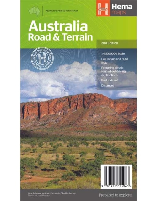
Australia Road and Terrain Map (2nd edition)
Hema’s iconic large map of Australia is coloured to reflect the country's climate zones. Marked on the map are localities, the major road network, distances and major national parks. The visual appeal makes it perfect as a decorative map or an educational tool. On the reverse side is an overview of Australia's iconic touring regions featuring history, geology and landforms, nature, bucket-list attractions and iconic 4WD tracks. Key Features- Full road and terrain hillshade map
- Major road networks & distances
- Overview of Australia's iconic touring regions
- Climate zones
- National parks
- Aboriginal Land
- Distance grid
- Locality Index
-
Central Australia Map (11th edition)
Discover Australia's ancient heartland This waterproof map of the Central Australia region is ideal for discovering some of Australia's most iconic landscapes. The main map covers the area around Alice Springs, including Uluru, Kata Tjuta, West MacDonnell Range, as well as the Simpson Desert and popular tracks such as the Hay River Track. The map also features additional information related to permits, useful contacts and historical context surrounding some of the area's most popular tourist destinations.Key Features
- GSP surveyed roads and tracks
- Fuel stops
- 4WD tracks
- Camping and rest areas
- Historic sites
-
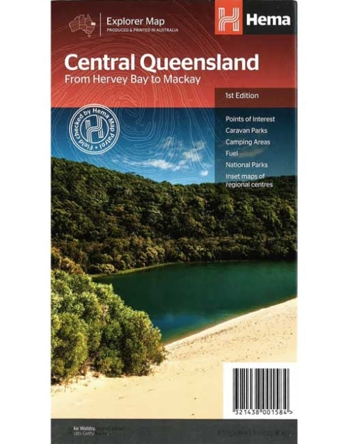
Central Queensland Map From Hervey Bay to Mackay
A regional map of central Queensland (1:1,000,000) that stretches inland past Jericho and from Maryborough in the south to Mackay in the north. On the opposite side is tourist information on the region, as well as inset maps of Mackay, the Capricorn Coast, Gladstone, Bundaberg, Rockhampton, and the Gemfields. Accompanying each inset map are photos as well as background and travel information on the region that help for planning and touring.Key Features
- Inset town and city maps
- National parks
- Tourist information
- Camping and rest areas
- Index and distance charts
-
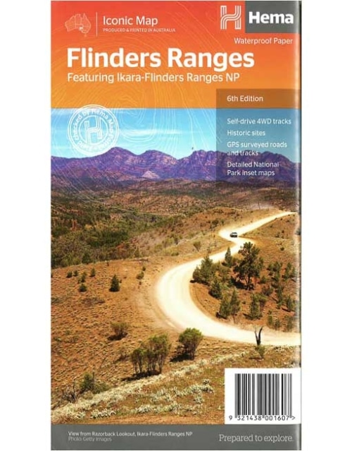
Flinders Ranges Map (6th edition)
This waterproof map of South Australia's Flinders Ranges includes inset national park maps and visitor information on the spectacular Flinders Ranges and Vulkathunha-Gammon Ranges, including information on the history and traditions of the Adnyamathanha people — making trip planning and navigation simple. Accompanying tourist information includes self-drive 4WD treks, historic sites and contact details listed for national parks and reserves.Key Features
• GPS surveyed roads and tracks • Self-drive 4WD tracks • Camping, bush camping, walking tracks • Historic sites • Detailed National Park inset maps -
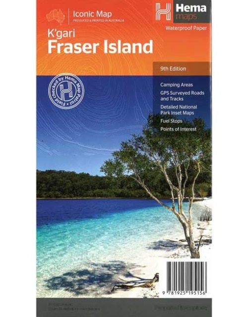
Fraser Island Map (9th edition)
Fraser Island is one of the most diverse 4WD destinations in Australia, with beaches, rainforests, perched lakes, sand blows and more fitting into the world’s largest sand island. The mapping is highly detailed (1:130,000), with 4WD tracks field checked by the Hema Map Patrol, while hybrid satellite inset maps of Waddy Point, Orchid Beach, Cathedral Beach, Happy Valley, Kingfisher Bay, Eurong and Second Valley are also included. On the reverse is a wealth of information for enjoying Fraser Island, including touring information on each distinct region, things to do, island access, permit information, accommodation, useful contacts and helpful insights for sand driving.Key Features
- Detailed 4WD tracks
- Camping areas
- GPS surveyed roads & tracks
- GPS positions and grid
-
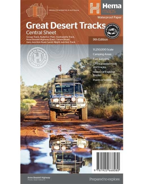
GREAT DESERT TRACKS - CENTRAL SHEET MAP
(9th Edition)
Hema's Great Desert Tracks maps are essential for anyone travelling in the Australian outback. The mapping features roads and 4WD tracks field-checked by the Hema Map Patrol, Points of Interest for remote area travellers and touring information for learning more about the region and planning your journey. -
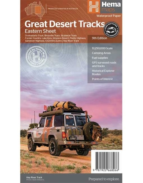
GREAT DESERT TRACKS EASTERN SHEET MAP
(9th Edition)
The Great Desert Tracks Eastern Sheet covers from Tennant Creek in the north to Port Pirie in the south, and from Cunamulla in the east to Alice Springs in the west. Marked on the mapping are roads and 4WD tracks checked by the Hema Map Patrol, distance markers, topographical relief and touring points of interest including 24-hour fuel, camping areas and caravan parks, facilities, services and more. -
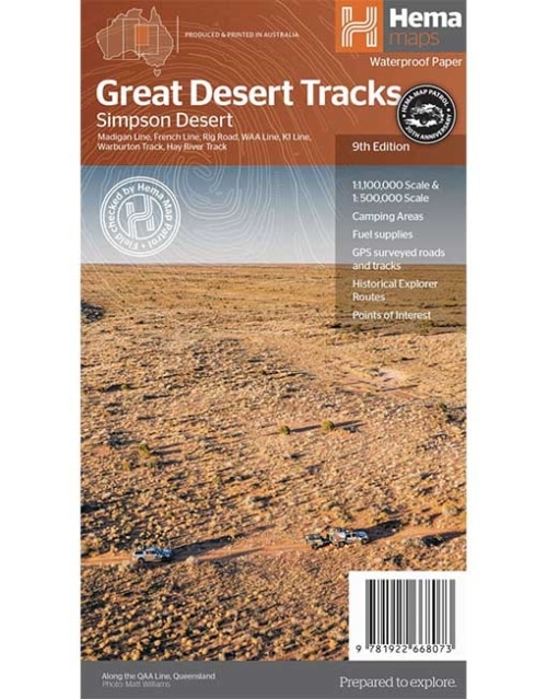
GREAT DESERT TRACKS - SIMPSON DESERT MAP
(9th Edition)
Hema's Great Desert Tracks maps are essential for anyone travelling in the Australian outback. The mapping features roads and 4WD tracks field-checked by the Hema Map Patrol, Points of Interest for remote area travellers and touring information for learning more about the region and planning your journey. -
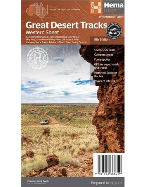
GREAT DESERT TRACKS - WESTERN SHEET MAP
(9th Edition)
Hema's Great Desert Tracks maps are essential for anyone travelling in the Australian outback. The mapping features roads and 4WD tracks field-checked by the Hema Map Patrol, Points of Interest for remote area travellers and touring information for learning more about the region and planning your journey. -
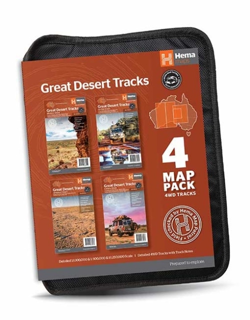
GREAT DESERT TRACKS MAP PACK
Great Desert Tracks Map Pack presents Hema's iconic Great Desert Tracks series in a soft and durable map wallet. Ideal for arid explorers looking to traverse Australia's arid centre, each waterproof and tear proof map is field-checked by the Hema Map Patrol to ensure the accuracy and detail necessary for desert travel. With complete coverage of the outback region of Australia's centre, this Desert Tracks Map Pack is the perfect navigation guide for every desert track and journey throughout Australia. -
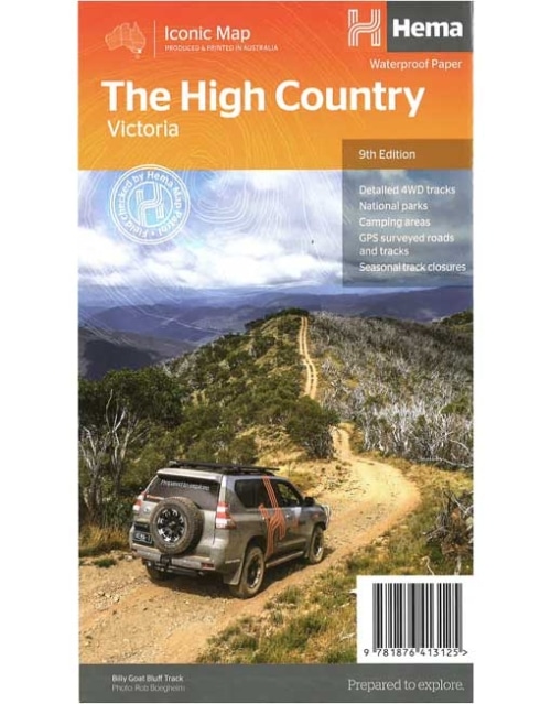
The High Country Victoria Map (9th edition)
This edition of Hema’s best-selling High Country map, on durable waterproof paper, features Hema's iconic mapping and extensive points of interest. Featuring roads and 4WD tracks field-checked by the Hema Map Patrol for superior accuracy. It combines Hema’s entire database of roads and 4WD tracks with touring points of interest and topographic information. Also included are seasonal track closures, camping areas, old townsites, huts, accommodation and distances. Key features:- 4WD tracks
- Huts
- Camping areas
- Old townsites
- Seasonal track closures
- Road distances
- Accommodation
-
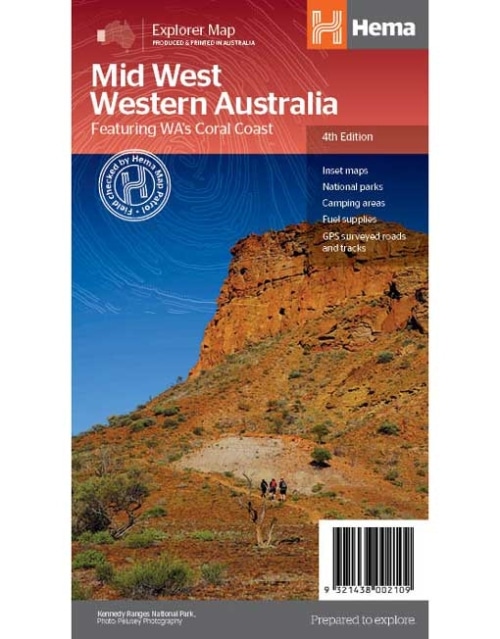
Mid West Western Australia Map (4th edition)
A regional map of Mid West Western Australia that covers from Cape Range National Park south to Mandurah and as far as Kalgoorlie at a scale of 1:1,250,000 that has camping areas, national parks, fuel supplies and facility symbols marked on the map. On the reverse is region-specific touring information for Wildflower country, Goldfields, Batavia Coast, Geraldton to Kalbarri, Gascoyne and the Outback Coast, Carnarvon and the Blowhole Coast as well as the Great Eastern Highway, with detailed inset maps for Cape Range National Park, Kalbarri National Park, Francois Peron National Park, Kennedy Range National Park and Mount Augustus National Park also included. Also featured are the Top 10 4WD Tracks, which include the Holland Track, Cave Hill Circuit, Jaurdi Station, Mount Elvire, Mundaring Powerlines Track, Stockyard Gully & Leseur National Park, Greenough River, Steep Point, Peron Peninsula and Kennedy Range National Park. Each track has a grading, map reference, permits and fees, distances, contact details, things to do and warnings.Key Features
- Inset Maps
- National parks
- Camping areas
- Fuel Supplies
- GPS surveyed roads and tracks
- What to see and do
-
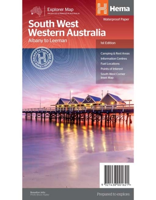
South West Western Australia Map
A regional map for discovering South West Western Australia (WA). On the reverse side of the map are detailed inset maps of Nambung National Park, Avon Valley National Park, Lane Poole Reservation, the South West Corner, Stirling Range National Park, D, Entrecastreaux National Park and Albany Coast. Also included is tourist information for the Coral Coast, Perth, Avon Valley, the Great Southern Region, Peel, Blackwood River Valley, the Southern Forests, the Margaret River region and the Southern Coast. The southwestern portion of Western Australia has a spectacular coastline, great surfing beaches, flowing rivers, tall forests, wineries, farms, quaint towns, bustling cities and numerous other attractions. While forest communities remain quiet, the coastal area from Bunbury to Margaret River and Augusta bursts at the seams on long weekends. The Southern Forests feature many opportunities for memorable encounters of the tree kind, and the region also has a stunning coastline. Almost the entire coast is within national parks and there are many great opportunities for four-wheel driving. To get a real taste for the vast wilderness protected by D’Entrecasteaux National Park, your best bet is by 4WD. Lake Jasper via Black Point is one of the favourite 4WD routes in the South West. The Great Southern area stretches from Denmark across to Albany and up to Mt Barker, taking in the Porongurup and Stirling ranges. Between Denmark and Albany is West Cape Howe National Park which offers to challenge 4WD tracks, fantastic camping at Shelley Beach, remnant karri forest and Western Australia’s most southerly point at Torbay Head. Blessed with milder summer temperatures than Perth, the South West corner is popular in spring for the wildflowers. The winter months are often wet and windy, especially along the southern coast. Visitors should also be aware that total fire bans apply in many areas throughout the summer months.Key Features
- Camping and areas
- All major road networks
- Points of interest with contact information
- Information Centres
- Fuel Locations
- South West Corner inset map
-
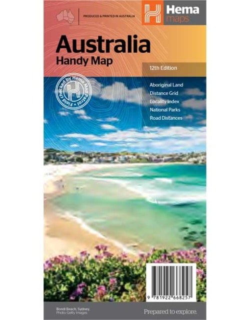
Australia Handy Map
The Australia Handy Map is a foldable, compact Australian map that is perfect as a journey planner or reference tool. It shows national parks and major road networks with distances for planning, along with major city CBD maps for Brisbane, Melbourne, Sydney, Canberra, Darwin, Adelaide, Perth and Hobart on the reverse side, as well as a distance chart and a placename index for practical use. -
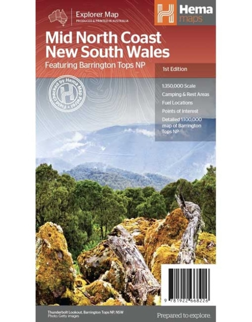
Mid North Coast New South Wales Map
A regional map of the Mid North Coast of New South Wales (1:350,000) that ranges from Northern Newcastle, west to Mudgee, as far as Gunnedah in the North and East to Port Macquarie. Covered regions in the map include; Gunnedah, Tamworth, Mudgee, Port Macquarie, Maitland, Kempsey, Taree, and Forster. Also includes the following National Parks; Barrington Tops NP, Oxley Wild Rivers NP, Hat Head NP, Carrai NP, Werrikimbe NP, Cottan-Bimbang NP, Mummel Gulf NP, Nowendoc NP, Curracabundi NP, Wollemi NP, Goulburn River NP, Yengo NP, and Towarri NP. On the opposite side is a detailed inset map of the Barrington Tops National Park (at 1:100,000 scale) plus extensive information on numerous regions, including visitor, historical and background information. -
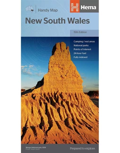
New South Wales Handy Map
This fully indexed Handy Map of New South Wales is at a scale of 1:1,400,000 including National Parks, camping areas, caravan parks, rest areas, points of interest and 24-hour fuel. -
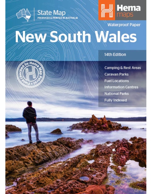
New South Wales State Map
This state map of New South Wales is at a scale of 1:1,500,000 and includes national parks, points of interest, 24-hour fuel in addition to camping and rest areas. On the reverse side are through road maps of Sydney and Canberra, as well as the Sydney regional area. There is a full index included, as well as all national park information.Key Features
- Points of interest
- 24-hour fuel
- National parks
- Camping areas
- Rest areas
- Fully indexed
-
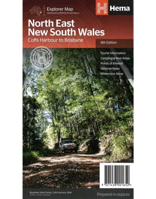
North East New South Wales Map
(8th edition)
A regional map of North East New South Wales (1:375,000) that is the perfect companion for touring through North East New South Wales (NSW). The map features information on the major touring routes through the region including the Summerland Way, Bruxner Highway, Waterfall Way and Gwydir Highway, as well as major tourist attractions along both the Pacific Highway and the New England Highway. Also included are listed national parks within the region, contact information and events.Key Features
- Top scenic drives
- Camping and rest areas
- Fully indexed
- Events and information
- Points of interest
- Waterproof paper
-
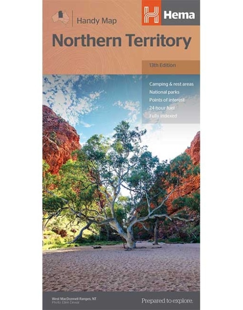
Northern Territory Handy Map
A map of the Northern Territory that features camping and rest areas, 24hour fuel and points of interest. On the reverse are through road maps of Darwin and Alice Springs, a map of the greater Darwin region. For trip planning there is a national park matrix and contact details for information centres. -
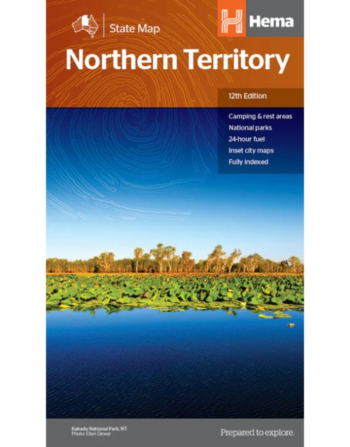
Northern Territory State Map
A map of the Northern Territory that has camping and rest areas, 24hour fuel and points of interest. On the reverse are thorough road maps of Darwin and Alice Springs, and a map of the greater Darwin region. For trip planning, there is a national park matrix and contact details for information centres.Key Features
- GPS surveyed roads and tracks
- Fuel stops 4WD tracks
- Camping areas
- Historic sites
- Detailed inset maps
- Waterproof/Durable paper
Key Specifications
- Edition: 12th
- Publication Date: 28/10/19
- Scale: 1:1,800,000
- Folded size (WxHxD): 140mm X 250mm x 3mm
- Flat size (WxH): 700mm X 1000mm
- Weight: 0.09kgs
-
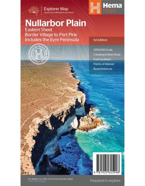
North East New South Wales Map
This map is part of Hema's new Nullarbor Plain Map Series (East and West) and covers Border Village to Port Pirie including the Eyre Peninsula. Truly one of the worlds great adventure drives, Australia's semi-arid Nullarbor Plain stretches some 1,256 kilometres (781 miles) via the Eyre Highway and links the cities of Adelaide and Perth (or vice versa depending on your direction). The length of this journey is so large we needed to stretch it over two maps; East from Port Pirie to Border Village in South Australia and the Western sheet from Border Village to Kalgoorlie. While all the key sites and facilities along the Eyre Highway are listed this map allows you to broaden your horizon and consider some of the other attractions off the Highway, including; the various Nullarbor caves, iconic beaches across the Great Australian Bight and thousands of kilometres of 4WD tracks (including Googs Track), all field-checked by the Hema Map Patrol for superior accuracy. This map combines Hema’s entire database of roads and 4WD tracks with touring points of interest and topographic information. Also included are camping & rest areas, fuel locations, accommodation, distances and history of the region.Key Features
- 4WD tracks (including Googs Track)
- Camping & rest areas
- Fuel Locations
- Road distances
- Accommodation
- Caves and Beaches
- History of the area
-
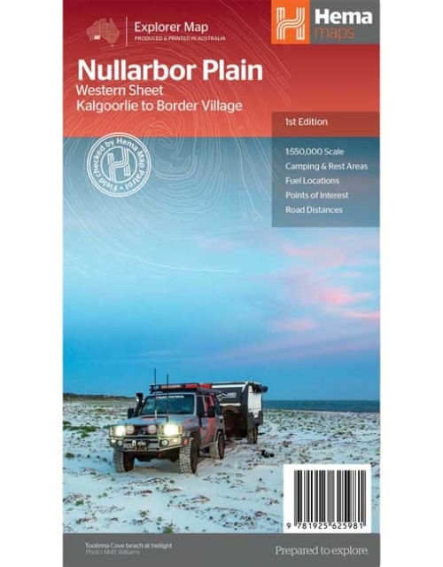
Nullarbor Plain - Western Map
Kalgoorlie to Border Village
This map is part of Hema's new Nullarbor Plain Map Series and covers the area from Kalgoorlie to Border Village and its surrounds. Truly one of the worlds great adventure drives, Australia's semi-arid Nullarbor Plain stretches some 1,256 kilometres (781 miles) via the Eyre Highway and links the cities of Adelaide and Perth (or vice versa depending on your direction). The length of this journey is so large we needed to stretch it over two maps; East from Port Pirie to Border Village in South Australia and the Western sheet from Border Village to Kalgoorlie. While all the key sites and facilities along the Eyre Highway are listed this map allows you to broaden your horizon and consider some of the other attractions off the Highway, including; the various Nullarbor caves, iconic beaches across the Great Australian Bight and thousands of kilometres of 4WD tracks (including Old Coach Road (by permit)), all field-checked by the Hema Map Patrol for superior accuracy. This map combines Hema’s entire database of roads and 4WD tracks with touring points of interest and topographic information. Also included are camping & rest areas, fuel locations, accommodation, distances and history of the region.Key Features
- 4WD tracks (including Googs Track)
- Camping & rest areas
- Fuel Locations
- Road distances
- Accommodation
- Caves and Beaches
- History of the area
-
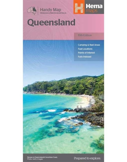
Queensland Handy Map
A compact map of Queensland (QLD) at a scale of 1:2,500,000 for touring throughout the state which features highways, major roads and minor roads. Marked on the map are national parks, camping areas, caravan parks, rest areas, points of interest and 24-hour fuel accompanied by a distance grid and an index. -
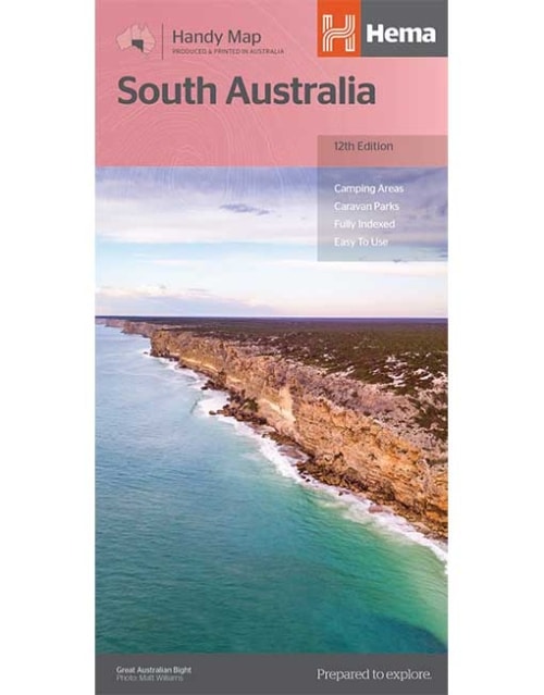
South Australia Handy Map
A map of South Australia that displays camping areas, caravan parks, points of interest, rest areas and fuel outlets and is geared for those touring throughout the state. Accompanying the map is an index of towns and localities, as well as a distance chart. -
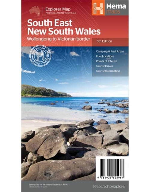
South East New South Wales Map
A regional map of South East New South Wales (1:385,000) that ranges from Wollongong down to the Victoria border and out to Gundagai and past Jindabyne in the West. Covered regions in the map include; Illawarra, Jervis Bay & Shoalhaven, Batemans Bay, Canberra & surrounds, Merimbula & Sapphire Coast, Southern Highlands, Goulburn Region and the Snowy Mountains. On the opposite side is extensive information on numerous regions, including visitor, historical and background information.Key Features
- Comprehensive map of South East New South Wales
- Camping & rest areas
- Fuel locations
- Tourist drives
- Detailed National Park Listing with facilities
- Tourist Information Centres
-
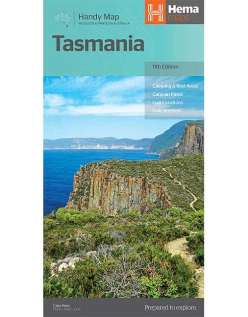
Tasmania Handy Map
A compact map of Tasmania for touring throughout the state with a distance grid and index for planning and reference. Marked on the mapping are highways, major and minor roads, camping and rest areas, 24-hour fuel, information centres, picnic areas, caravan parks, and lookouts. -
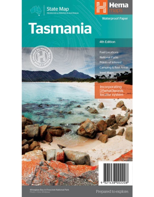
Tasmania State Map
The fourth edition of Hema’s Tasmania State Map features Hema’s distinctive and informative maps fully, all of which have been field checked by Hema’s Map Patrol to ensure the best possible accuracy with the latest mapping data. A fully indexed state map of Tasmania (TAS) at a scale of 1:500,000. Marked on the mapping are national parks, fuel locations as well as camping and rest areas. The reverse side consists of:- a summary of the key things to see and do broken up into the North West, Launceston, Tamar and the North
- a table listing of National Parks and Reserves with key features and facilities (such as Camping and Caravan sites, BBQ, toilets and showers)
- Visitor centre listing
- Map of the area around Zeehan and Queenstown at 1:250,000 scale (including Lake St Claire and Franklin-Gordon Rivers National Parks)
- Map of Freycinet National Park at 1:125,000 scale
- Map of Southwest National Park at 1:200,000 scale
- Map of Hobart & Region at 1:250,000 scale (including petrol stations, information centres and rest stops marked)
Key Features
- Fully updated and indexed primary Map of Tasmania at a scale of 1:500,000 and showing national parks, fuel locations as well as campsites and caravan parks
- Detailed maps of the Zeehan and Region (including Lake St Clair and Franklin-Gordon Rivers National Park), Freycinet National Park, Southwest National Park and Hobart & Region
- Complete list of Tasmanian Visitor Information Centres
- Table showing Tasmania’s National Parks and Reserves with key features and facilities
- Summary of the key things to see in Tasmania broken up by region.
Key Specifications
- Edition: 4th
- Publication Date: 15/02/21
- Scale: 1:500,000
- Folded size (WxHxD): 140mm X 250mm x 3mm
- Flat size (WxH): 700mm X 1000mm
- Weight: 0.09kgs
-
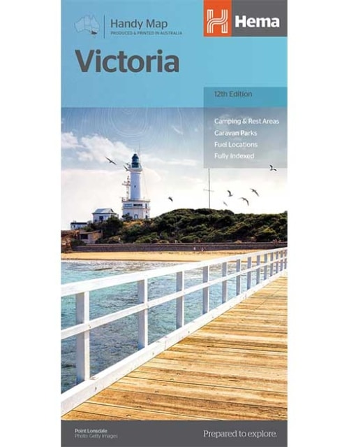
Victoria Handy Map
From the rolling High Country in the east to the expanses of the Wimmera region in the west; the rugged Shipwreck Coast in the south to the lazy Murray River that scribbles the northern border; Victoria is a road trip paradise. Hema's Handy Map has been revised for its 12th edition, with, updated roads, greater detail, distance grid and index for planning and reference. Also marked on the mapping are highways, major and minor roads, points of interest, information centres, picnic areas, caravan parks and lookouts. The Victoria Handy Map is an essential addition to any holiday-maker's packing list, or a useful resource to keep stashed in the glove box. -
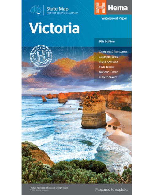
Victoria State Map
A comprehensive map of Victoria for touring throughout the state that has camping and rest areas, 24-hour fuel and points of interest marked on the mapping. On the reverse are CBD, the surrounding region and through road maps of Melbourne in addition to maps of the Great Ocean Road and East Gippsland. Also included is a national park matrix and a list of accredited information centres within Victoria.Key Features
- Camping & Rest Areas
- Caravan Parks
- Fuel Locations
- 4WD tracks
- National Parks
- Fully indexed
Key Specifications
- Edition: 9th
- Publication Date: 01/12/14
- Scale: 1:850,000
- Folded size (WxHxD): 140mm X 250mm x 3mm
- Flat size (WxH): 700mm X 1000mm
- Weight: 0.09kgs
-
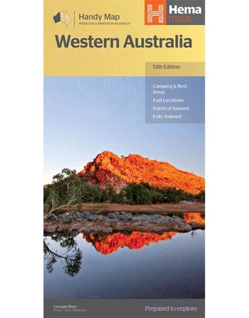
Western Australia Handy Map
Hema's updated WA Handy Map is comprised of the most detailed information, which has been verified by Hema Map Patrol. It is printed on waterproof paper and includes a full index of locations, making it durable and easy to use for both navigation and inspiration. A compact map of Western Australia for touring throughout the state with a distance grid and index for reference. Marked on the mapping are highways, major and minor roads, camping and rest areas, 24-hour fuel, information centres, picnic areas, caravan parks and lookouts. -
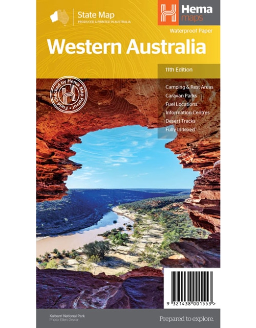
Western Australia State Map
Hema's updated WA State Map is comprised of the most detailed information, which has been verified by Hema Map Patrol. It is printed on waterproof paper and includes a full index of locations, making it durable and easy to use for both navigation and inspiration. On the reverse side of the maps are through road maps of Perth, plus inset maps of Leeuwin-Naturaliste National Park, Cape Range National Park, Nambung National Park, Francois Peron National Park, Purnululu National Park, Walpole-Nornalup National Park and Karijini National Park. Also included are information centres within Western Australia.Key Features
- Camping and rest areas
- Caravan parks
- Fuel locations
- Information centres
- Desert tracks
- Full index
Key Specifications
- Edition: 11th
- Publication Date: 01/11/19
- Scale: 1:2,500,000
- Folded size (WxHxD): 140mm x 250mm x 3mm
- Flat size (WxH): 700mm x 1000mm
- Weight: 0.09kgs
-
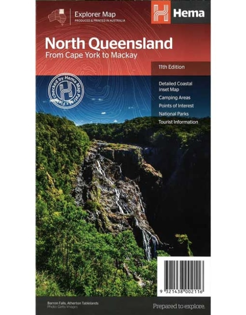
North Queensland Map From Cape York to Mackay (11th edition)
This is the ideal North Queensland map for discovering the many destinations between Mackay and The Tip. The mapping is at a touring scale of 1:750,000, with terrain shading and touring symbols giving an accurate and informative overview of the region. There is a detailed inset map for Mackay and the Whitsundays and another for the entire coastal strip between Townsville and Cooktown. There is also tourist information on the popular coastal strip with a handy list of national park facilities and information centres as well.Key Features
- Detailed coastal inset map
- Camping areas
- Points of Interest
- National Parks
- Tourist areas
-
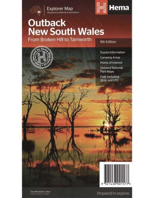
Outback New South Wales Map (5th edition)
A regional map of outback NSW (1:1,100,000) that ranges from Tamworth in the east to Broken Hill in the west, as well as from Wagga Wagga in the south to past the Queensland border in the north. On the opposite side is extensive information on numerous regions, including visitor, historical and background information. Covered regions include the Broken Hill region, Corner Country, east of Tibooburra, the White Cliffs region, Cobar and surrounds, around Back o'Bourke, Lightning ridge and surrounds, Wentworth region, Balranald, Griffith region, Dubbo and surrounds, Kinchega National Park, Mungo National Park, Sturt National Park and Mutawintji National Park.Key Features
- Detailed National Park Maps
- Tourist information
- Camping areas
- Points of interest
-
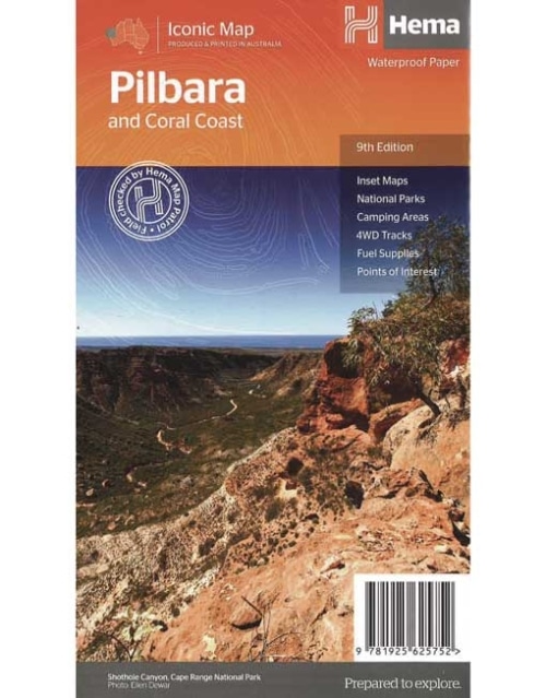
Pilbara & Coral Coast Map (9th Edition)
This regional waterproof map of the Pilbara and Coral Coast is ideal for discovering the northern reaches of Western Australia. The main map covers the diverse marine attractions around Shark Bay, François Peron National Park and the Ningaloo Reef. It also stretches to the gorges of Karijini, lush habitats of Millstream Chichester National Park and the magnificent Marble Bar. It also features additional information relating to permits, useful contacts and historical context surrounding some of the area's most popular tourist destinations. PRODUCT FEATURES- GPS surveyed roads and tracks
- Fuel stops
- 4WD tracks
- Camping areas
- Historic sites
- Detailed inset maps
-
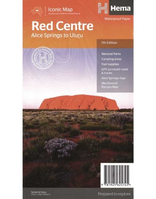
The Red Centre Map (7th Edition)
This regional waterproof map of the Red Centre is ideal for discovering the quintessentially Australian landscape at the heart of the country. The main map covers the area around Alice Springs, including Uluru, Kata Tjuta, West MacDonnell Range and Watarrka National Park. It also features additional information relating to permits, useful contacts and historical context surrounding some of the area's most popular tourist destinations. PRODUCT FEATURES- GPS surveyed roads and tracks
- Fuel stops
- 4WD tracks
- Camping areas
- Historic sites
- Detailed inset maps
-
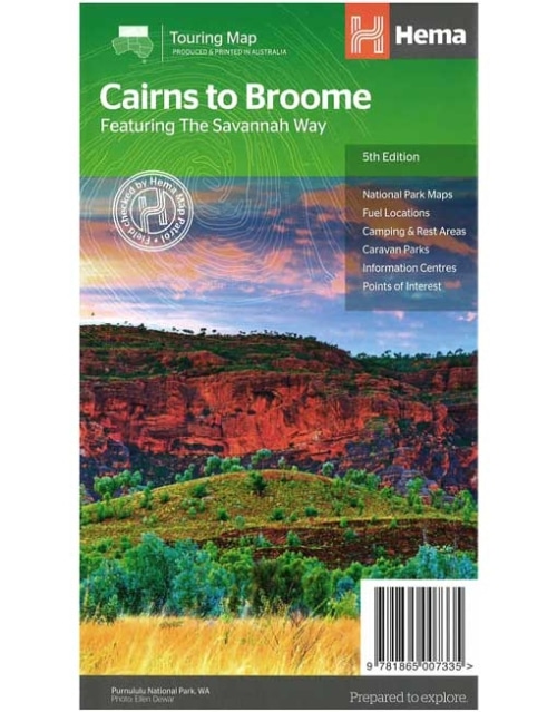
Savannah Way - Cairns to Broome Map (5th edition)
A touring map for the trip along the Savannah Way between Cairns and Broome at a scale of 1:2,200,000. The maps show 24-hour fuel, outback fuel and LPG as well as caravan parks, camping areas and rest areas. Popular national parks along the route are featured with detailed inset maps of Judbarra/Gregory, Purnululu, Kakadu and Boodjamulla. Also included are contact details for accredited information centres and useful lists of the facilities in national parks.Key Features
- The Savannah Way
- National Park maps and info
- Distance charts
- Information centres
- Fuel stops
- Caravan Parks, camping and rest areas
-
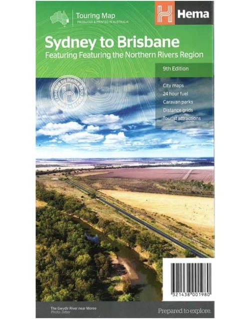
Sydney to Brisbane Map Featuring the Northern Rivers Region (13th edition)
A city to city map designed for the journey from Sydney to Brisbane via the Pacific and New England Highways (1:1,900,000), with tourist information on towns and regions within the trip on the opposite side.Key Features
- City maps
- 24-hour fuel
- Camping areas
- Distance grids
- Tourist attractions
- Roadside rest areas
-
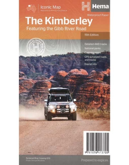
THE KIMBERLEY MAP FEATURING THE GIBB RIVER ROAD (15th Edition)
A regional map of the Kimberley that features the iconic Gibb River Road. On the reverse are inset maps for Purnululu National Park, the Dampier Peninsula and the Parry Creek area. Detailed trip coverage and drive detail for the Gibb River Road is featured as well, with inset mapping covering the journey and corresponding text to guide explorers. This edition of Hema’s best-selling Kimberley map features Hema's iconic mapping and detailed points of interest. It combines Hema’s entire database of remote roads and 4WD tracks with touring points of interest and topographic information. Also included are national park information and relevant contact details for pre-trip planning and use on the road or track. Key features: - Waterproof paper
- Detailed 4WD tracks
- National parks
- Camping areas
- GPS surveyed roads & tracks
-
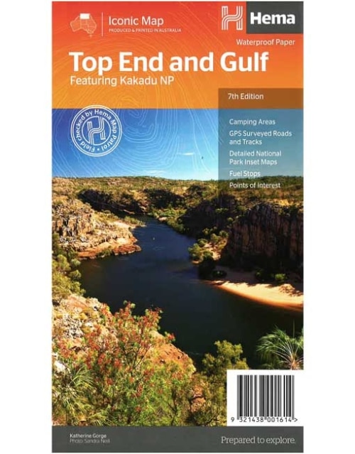
Top End and Gulf Map Featureing Kakadu NP (7th Edition)
This regional waterproof map of the Top End and Gulf is ideal for discovering the northern parts of Australia's NT by 4WD. It includes a main map of the Darwin region, Judbarra / Gregory National Park, Nhulunbuy, Keep River National Park and Boodjamulla (Lawn Hill) National Park. There is additional tourist information for Arnhem Land, the Roper River trek, Darwin region, Douglas-Daly district, Nature’s Way, Victoria Highway, Katherine Region and the Stuart Highway Region.Key Features
- GPS surveyed roads and tracks
- Fuel stops
- Self-drive 4WD tracks
- Camping areas
- Historic sites
- Detailed National Park inset maps
- Waterproof paper
-
Top End National Parks Map: Litchfield, Katherine & Kakadu
(2nd Edition)
A regional map that features Litchfield (1:160,000), Katherine Gorge and Kakadu (1:350,000) national parks. A Darwin region map is included (1:850,000) along with extensive tourist information for Darwin and the surrounding region, Arnhem Highway to Kakadu, Mary River, Stuart Highway to Katherine, Litchfield National Park, Katherine Gorge (Nitmiluk) National Park and Kakadu National Park. Also included are national park facility listings in addition to contact details for accommodation and visitor centres in the region.Key Features
- National Parks facility listing
- Popular tourist routes
- Campsites & rest areas
- Tourist information