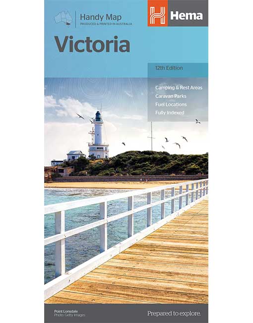
VICTORIA HANDY MAP

$9.99

In stock

Victoria Handy Map

From the rolling High Country in the east to the expanses of the Wimmera region in the west; the rugged Shipwreck Coast in the south to the lazy Murray River that scribbles the northern border; Victoria is a road trip paradise. Hema’s Handy Map has been revised for its 12th edition, with, updated roads, greater detail, distance grid and index for planning and reference. Also marked on the mapping are highways, major and minor roads, points of interest, information centres, picnic areas, caravan parks and lookouts. The Victoria Handy Map is an essential addition to any holiday-maker’s packing list, or a useful resource to keep stashed in the glove box.

In stock

SKU: MP9773 Categories: ,

Description

Victoria Handy Map

From the rolling High Country in the east to the expanses of the Wimmera region in the west; the rugged Shipwreck Coast in the south to the lazy Murray River that scribbles the northern border; Victoria is a road trip paradise. Hema’s Handy Map has been revised for its 12th edition, with, updated roads, greater detail, distance grid and index for planning and reference. Also marked on the mapping are highways, major and minor roads, points of interest, information centres, picnic areas, caravan parks and lookouts. The Victoria Handy Map is an essential addition to any holiday-maker’s packing list, or a useful resource to keep stashed in the glove box.

Key Features

  • Camping & Rest Areas
  • Caravan Parks
  • Fuel Locations
  • Fully indexed

Key Specifications

  • Edition: 12th
  • Publication Date: 24/09/14
  • Scale: 1:850,000
  • Folded size (WxHxD): 125mm X 250mm x 3mm
  • Flat size (WxH): 500mm X 875mm
  • Weight: 0.05kg


Reviews

There are no reviews yet.

Be the first to review “VICTORIA HANDY MAP”

This site uses Akismet to reduce spam. Learn how your comment data is processed.

Go to Top