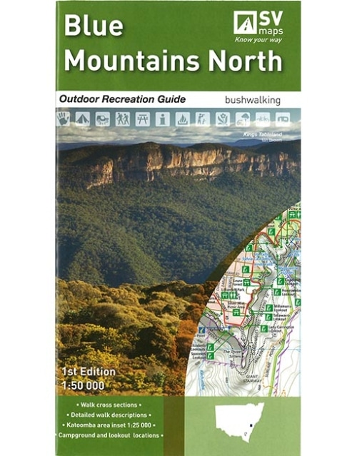
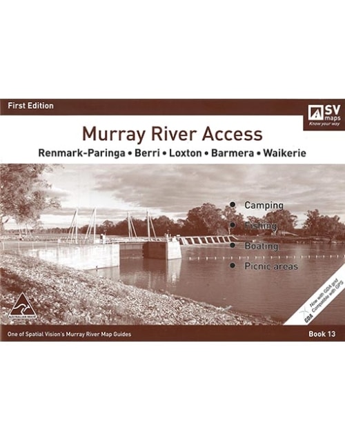
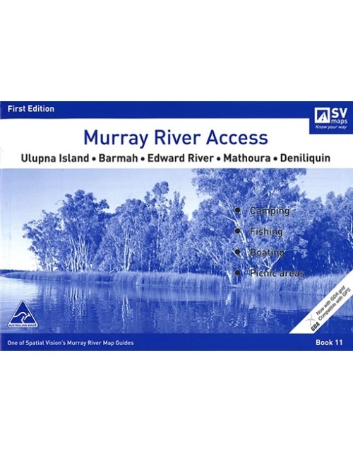
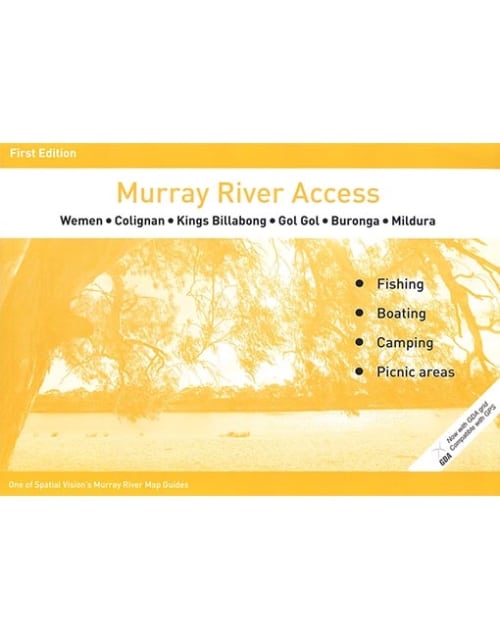
Murray River Access Maps are the best way to find camping, fishing and boating spots along the Murray River. Map 4 covers Gunbower Island to Murrabit.
MURRAY RIVER ACCESS MAP – #4 GUNBOWER ISLAND TO MURRABIT
$8.99
In stock
In stock
Description
Spatial Vision’s series of Murray River Access Maps are the best way to find camping, fishing and boating spots along the Murray River. Also includes information on parks and forests, and major walking tracks.
Specifications
SCALE: 1:25,000 COVERAGE: Torrumbarry Weir, Gunbower Island, Cohuna, Barham-Koondrook to Murrabit IDEAL FOR: Bushwalking, Camping, fishing, mountain biking, exploring and car touring EDITION: 1 SIZE: A4 – 297mm wide by 210mm high. 46 page booklet